
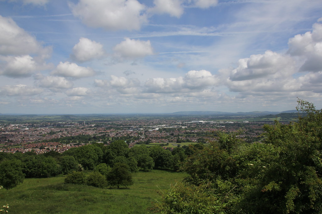
From our home the obvious direction for walks is westwards towards the Black Mountains, Brecon Beacons and the rest of Wales. A couple of weekends back TJF had a dance event in Gloucester that lasted most of the day so me and TBF decided to try a walk in the fringes of the Cotswolds. Only a mile or so from where the dancing was happening was Robinswood Hill Country Park. It’s very prominent feature when driving up and down the M5, with its extensive dry ski slope. It’s always looked like a good viewpoint, so we parked at the base and started our trek from there
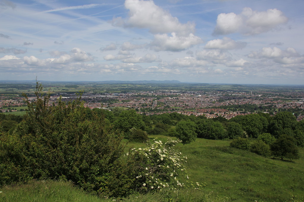
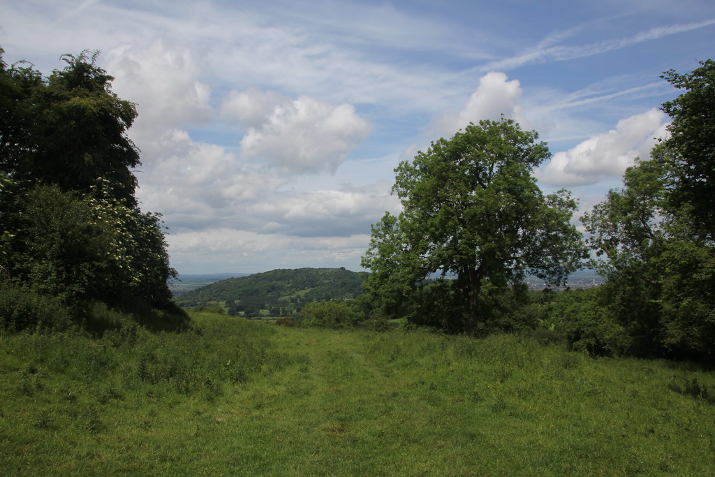
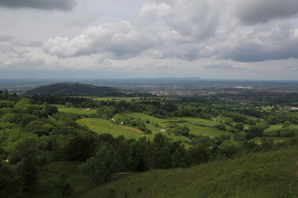
And indeed the views from the top at 198m were excellent. It’s quite a lofty, elevated and isolated hill that the views seem disproportionately expansive
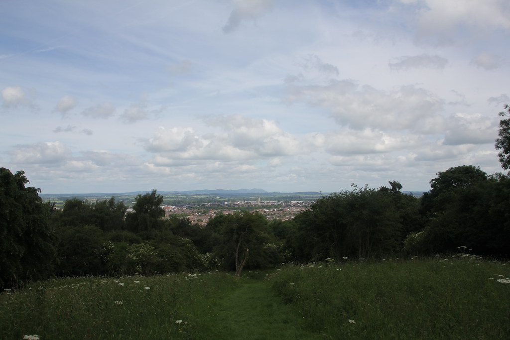
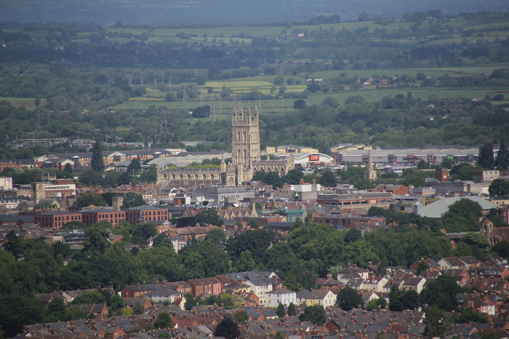
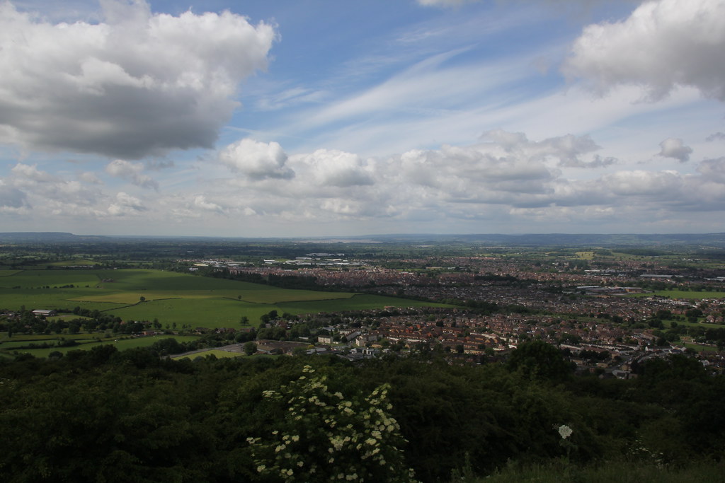
I love views down over cityscapes and this one was excellent. The cathedral standing proud over the city
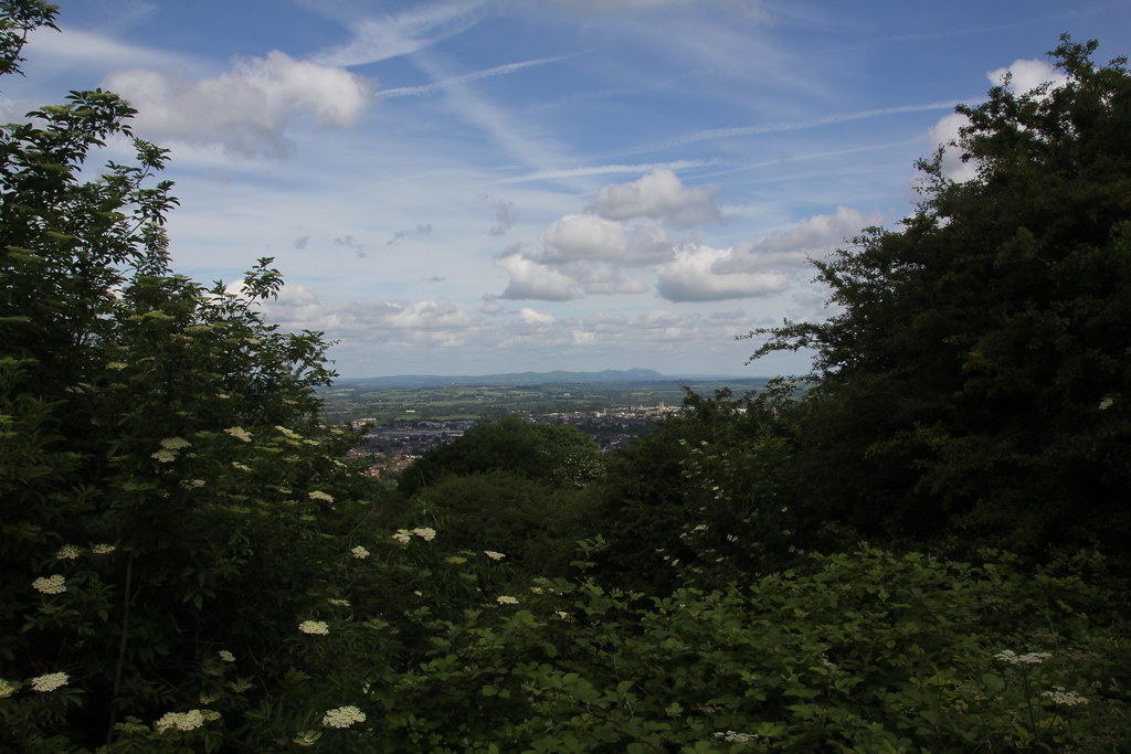
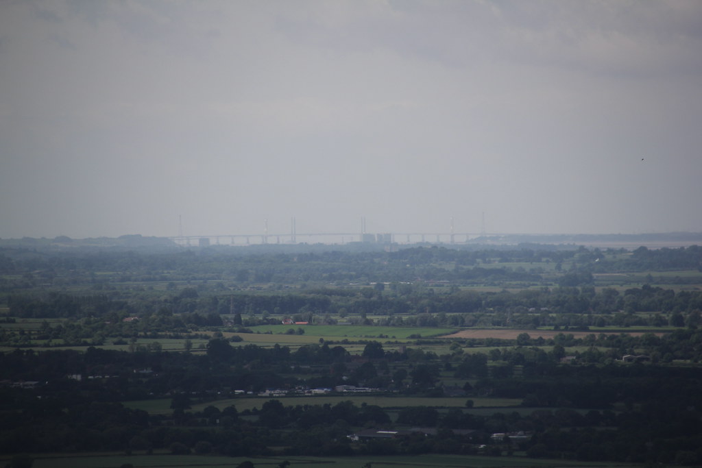
A short walk along the summit ridge and we came to a fine view-point over the spread of the Severn estuary and down to both of the bridges, just visible in the haze
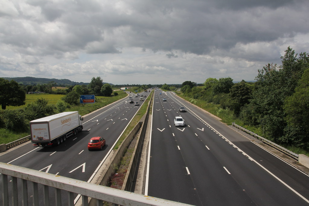
We had the novel experience of walking over a motorway as part of a walk. I was about to say it was the first time I’d walked over a Motorway but then I remembered I used to walk over the M5 on my way to West Brom games when I was a kid and also to the Cinema in Quinton in Birmingham so not such a good fact really
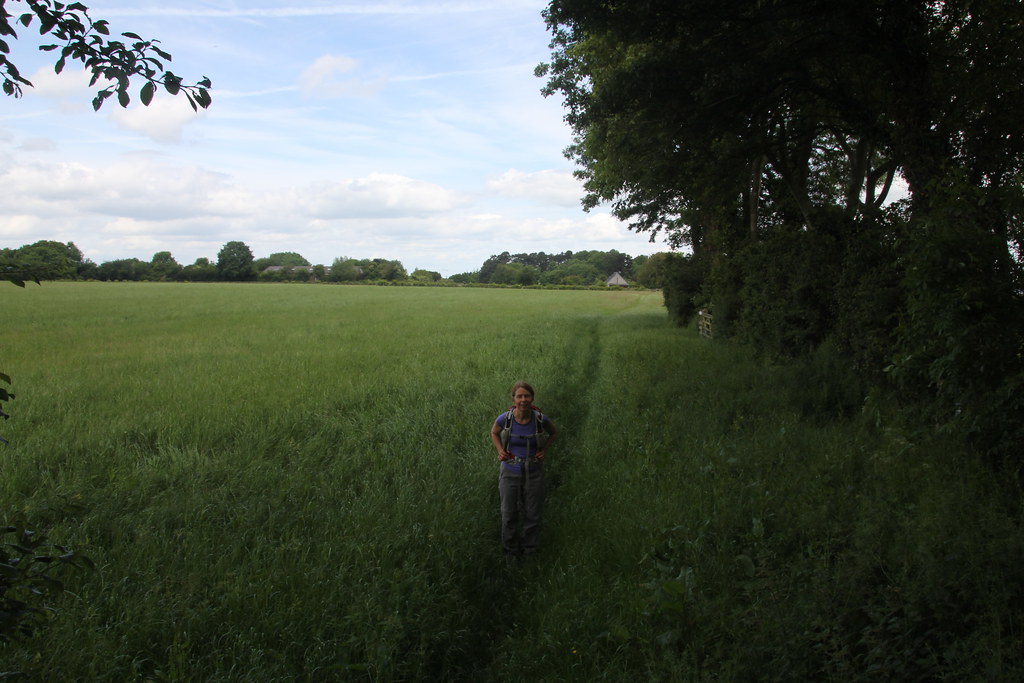
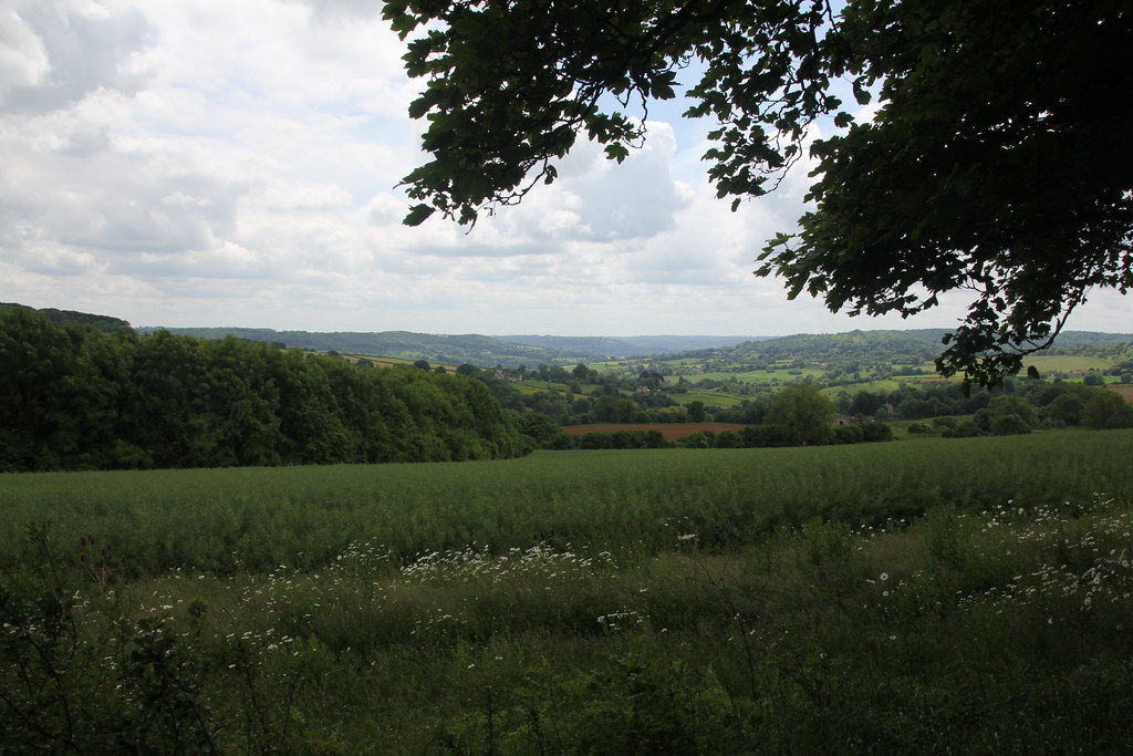
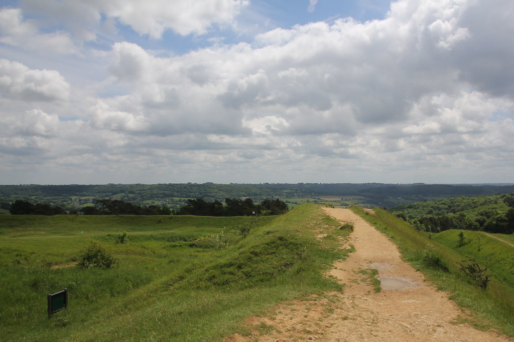
We were following the Wysis Way that thinks the Wye to the Thames. I’d been worried that paths would be overgrown and poorly signposted but apart from a couple of spots all was good
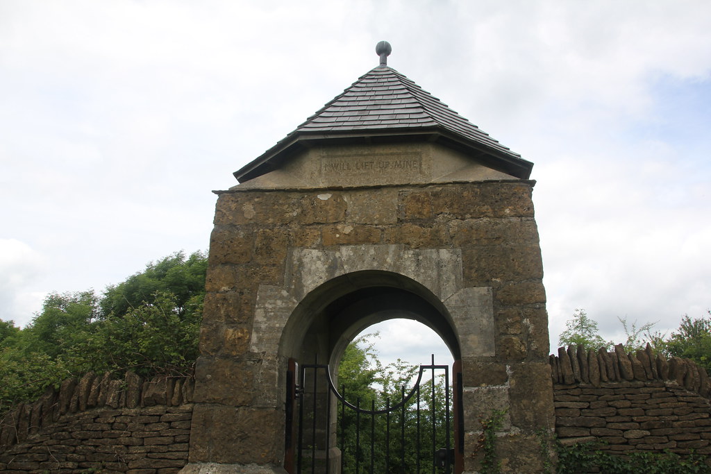
We passed this odd-looking gate/tower affair in the middle of nowhere that just seemed to lead into a field. Clearly of some religious significance based on the inscription
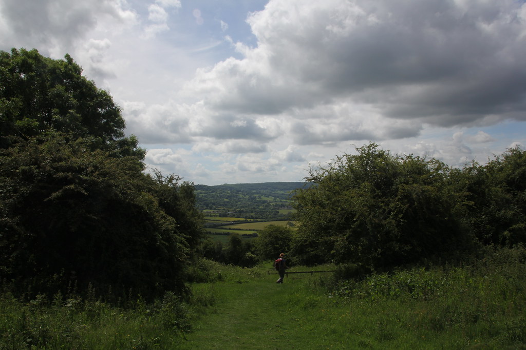
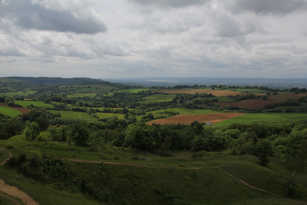
We were heading for Painswick Beacon, an obvious high point on the edge of the Cotswolds
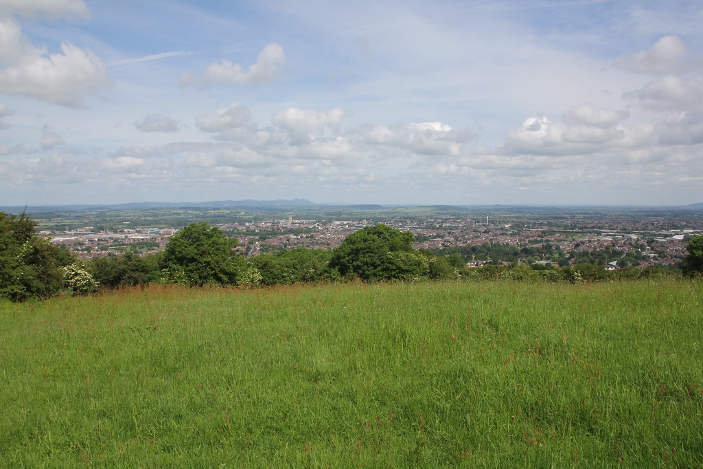
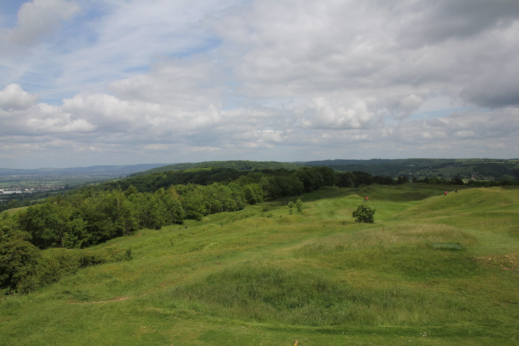
I think the Cotswolds are massively over-rated as scenic area. Most of the central area is huge arable farms with lots of villages named Tweeness-under-the-Water and such like, always thronged with tourists and a £5 car park. However along the edges that overlook the Severn Valley the views are impressive and elevated
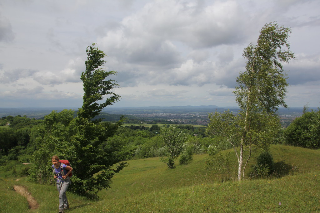
TBF found a bench to sit on (you can see here in the middle of the photo below) while I went to the top
As I crested the summit I was surprised to find a Golf Course with a Tee right on the summit. I never expected that. It looked a very fine course
I wandered back down to TBF and we had lunch and cup of tea before we t=retraced our steps back to the car and collected TJF
The map below shows the route but the OS mapping software threw a fit halfway round so I can confirm we didn’t walk in a dead straight line from Painswick Beacon to Robinswod hill, but you get the idea. About 10 or 11 miles in total I reckon

Always nice to try something different


