Over the past few weeks we’ve made a couple of trips to Nottinghamshire for family visits. Nothing too exciting, a few short walks and some bike rides but nice to relax and chill out.
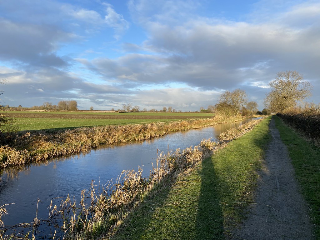
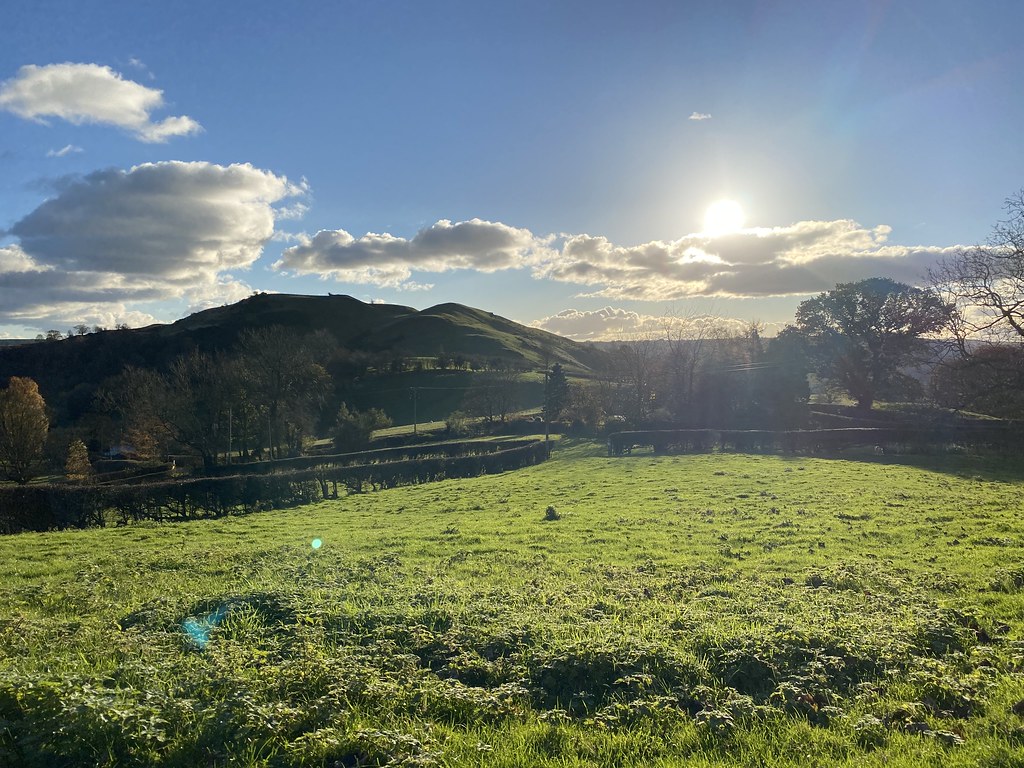
The local attraction is the Grantham Canal which makes for nice cycle routes and short walks. The photo below betrays just how bitterly cold and windy it was on that day.
Continuing the unusual church theme from the previous post.
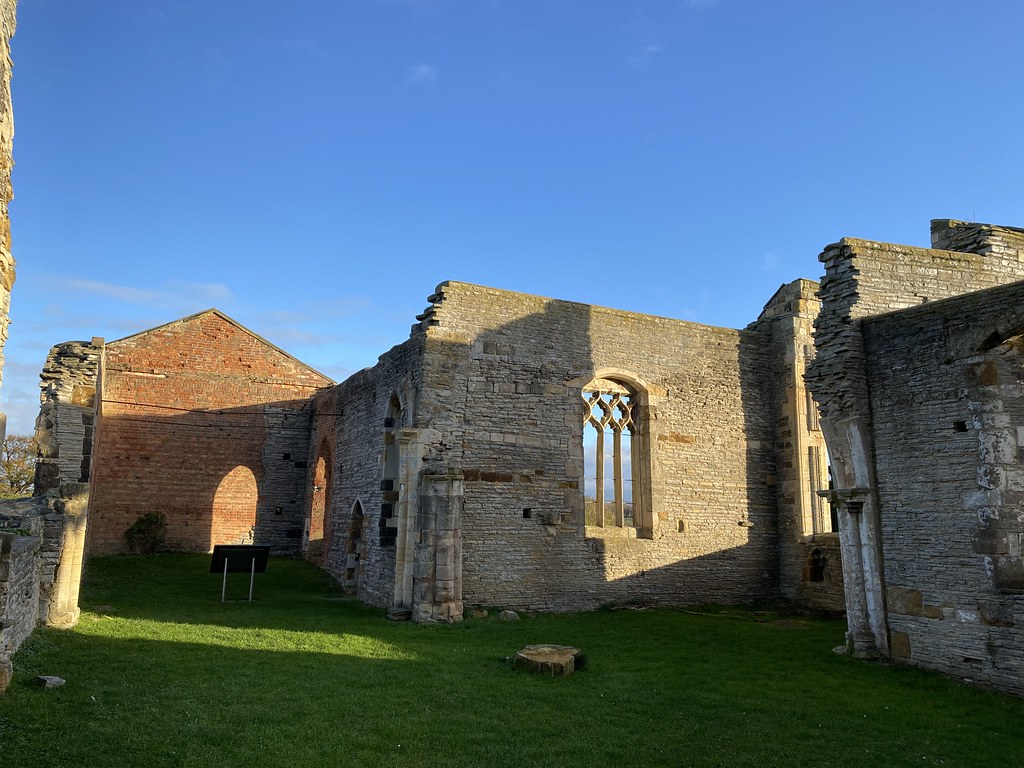
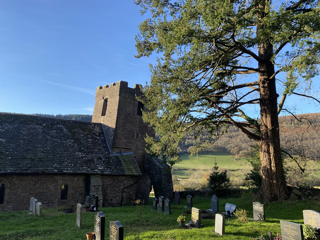
This is St Mary’s Church at Colston Bassett.
As you can see its now a ruin although recently tidied up and re-dedicated by English Heritage. We were in the area on a bike ride and TBH said it was worth a look (she used to live in the area when she was younger).
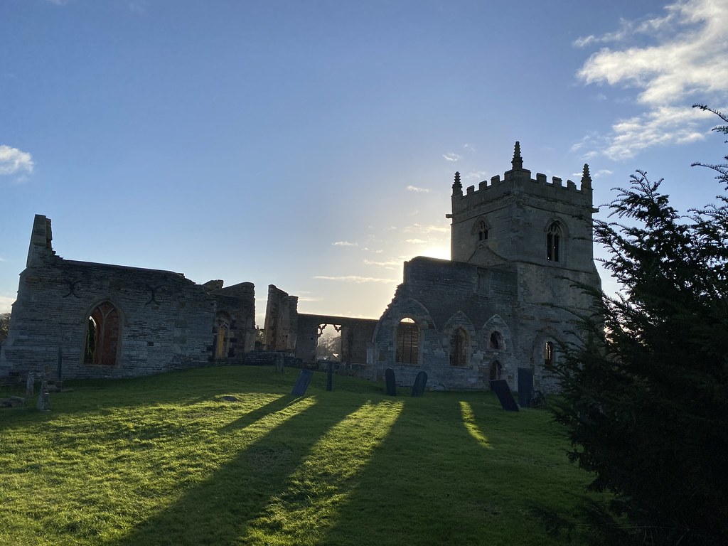
We were lucky to catch a really clear blue spell on an otherwise grey day.
When she said remains of a church I was expecting just scant foundations and a few walls so I was surprised to see such a substantial remain.
Information online is bit vague but from memory of the sign at the entrance, it’s been around since Norman times and fell into ruin by the 19th Century as the Wolds were depopulated and the main site of the village moved about half a mile. A new church was then built in the site of the village today hence this one was no longer required. On a sunny winter afternoon it was an evocative site and I’m very glad we made the effort to see it.
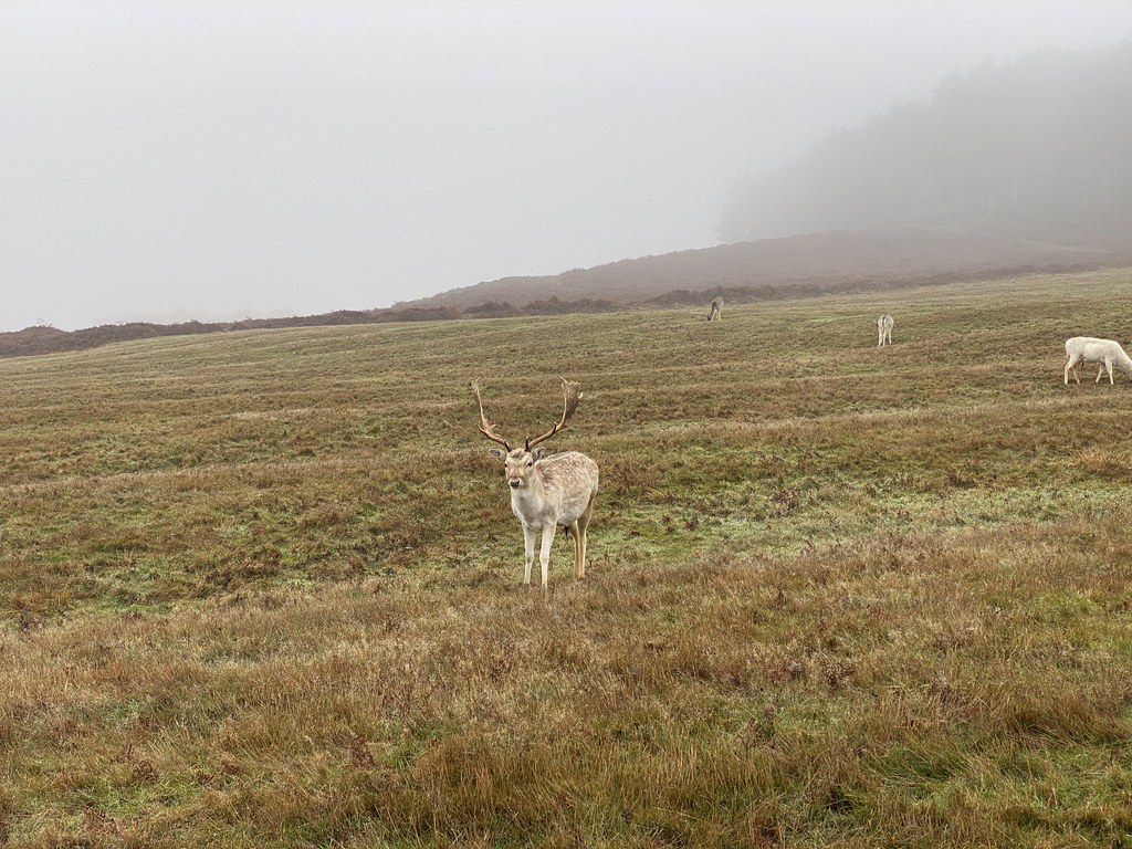
Slightly out of sync with posts to come, a few photos from our second visit over Xmas. A walk around Bradgate Park on Xmas Eve. A misty and dreary day, which was a shame as its a wonderful park with a myriad of small hills, woodland, lakes and, to enliven this walk no end, plenty of deer.
Even though they are very much habituated to human presence its still always a joy to see a bit of wildlife – even if that life is not exceptionally wild.
At least the weather was calm so we enjoyed our outing as a precursor to a calm and relaxed Xmas.
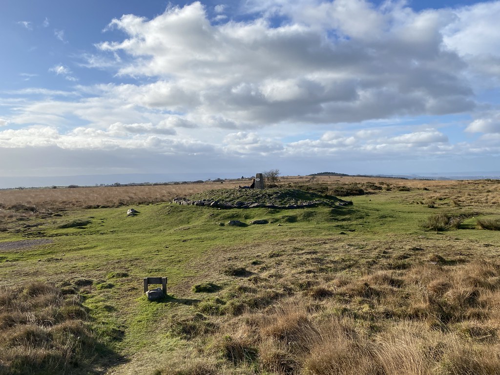
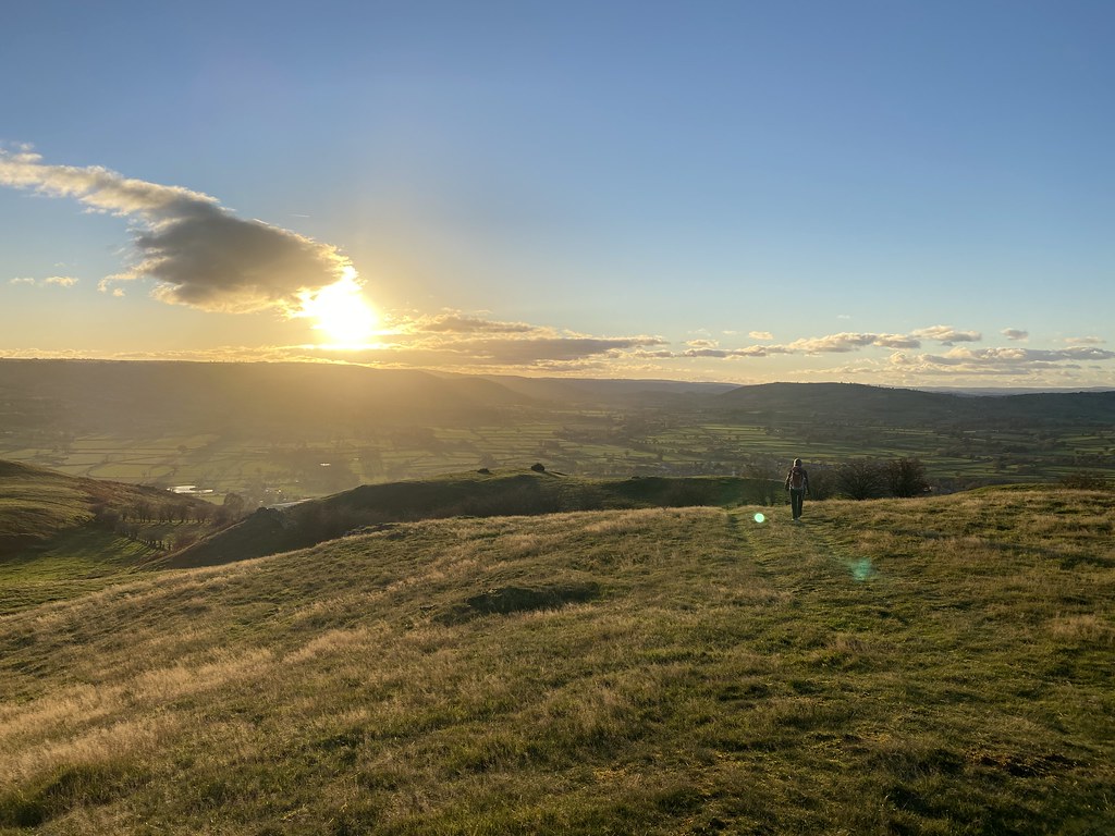
And also following on from the “wonky” theme of the previous post, a single image from our Xmas day walk to the dramatic “summit” of Hickling Standard. A dizzying 105m above sea level and complete with a leaning Trig Pillar.
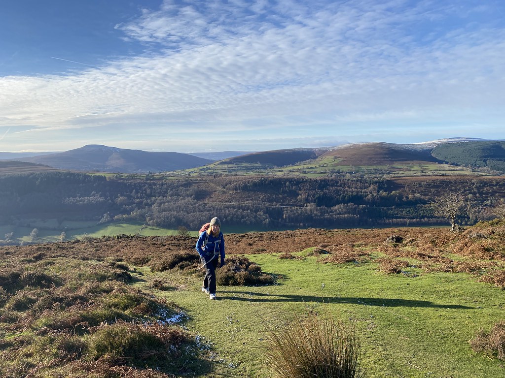
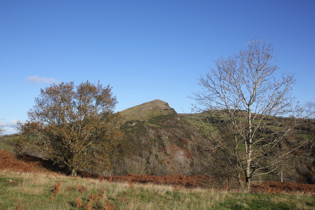
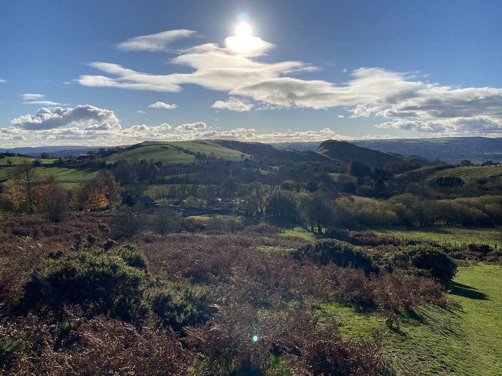
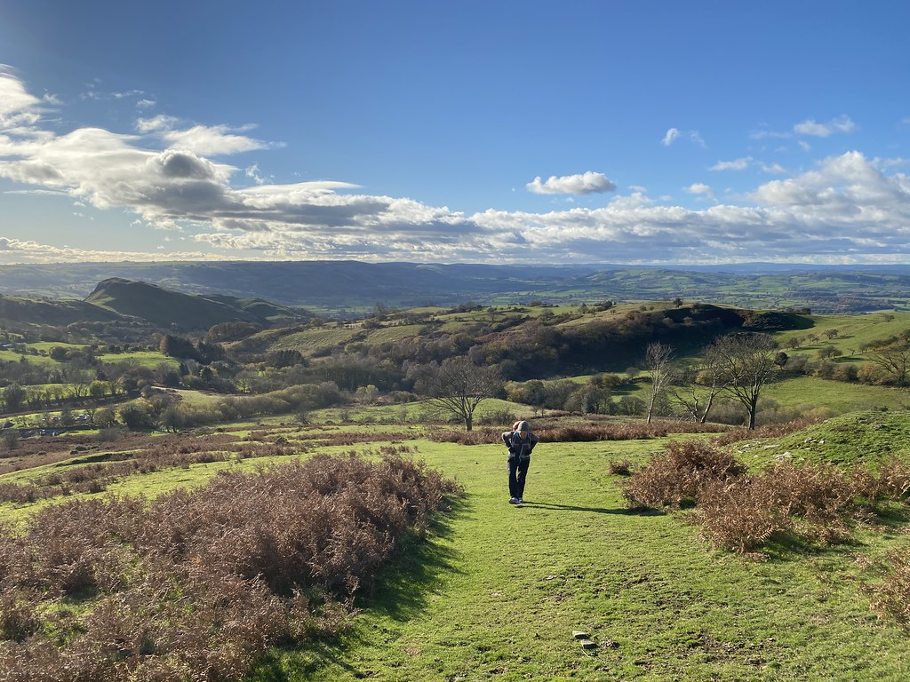
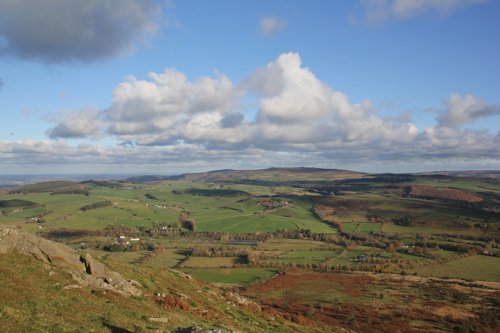
Another of our classic go-to walks. A circuit of Hatterrall Hill from Cwmyoy.
A glorious winter morning with a – relatively – early start to catch the best of the weather.
My favourite local church at Cwmyoy.
This time I took a peek inside. Pleased to see the the window at the end keeps the wonky theme going.
Its a gorgeous little church and worth a visit for its own sake. For me it just happens to sit on the route of one of my favourite walks.
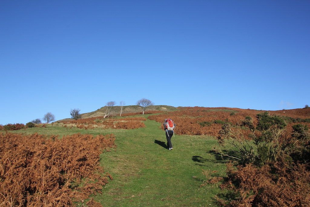
I’ve tweaked the route slightly to take in a more open approach across the fields and meadows to the base of the small rocky peak created by a landslip many years ago.
Its a marvellous little spot with great views out to Ysgyryd Fawr.
And back towards Hatterrall Hill.
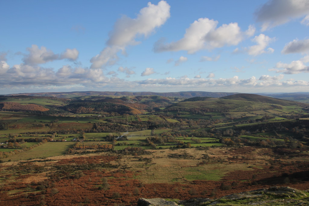
Until I looked at the images again writing the post I’d forgotten just what a cold day it was. A hint of snow on the higher summits and all the wet sections frozen solid.
Looking back to the little nameless rocky peak.
Sugar Loaf and the southern reaches of the Black Mountains.
Frosty hollows.
Vale of Ewyas leading up to the Gospel Pass.
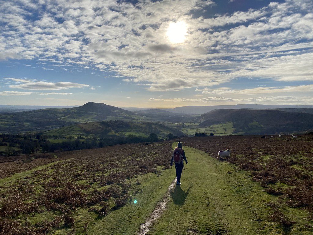
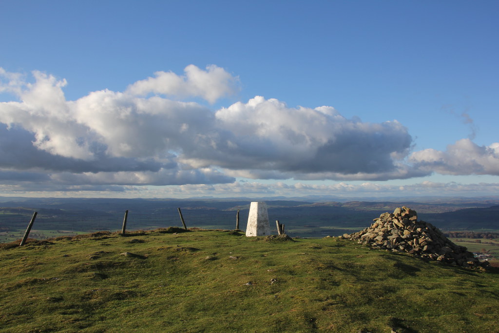
Offas Dyke path heading towards the Trig Pillar that’s not located on the summit.
Its a fine spot though with expansive views across the patch work fields of the Shire.
What better place to stop for an early lunch and a cuppa, hunkered down out of the chilly wind.
As we finished lunch the cloud the started to build and the best part of the day was done and dusted. Happy times.
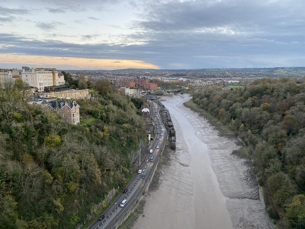
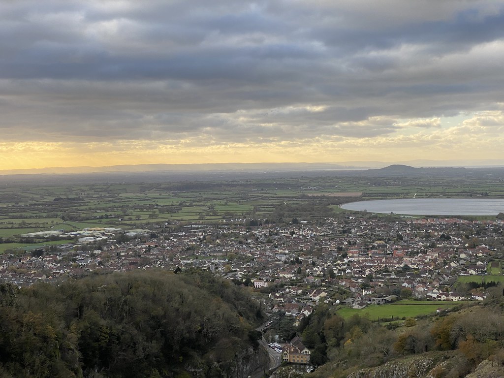
Back to the end of November and a night out in Bristol followed by a walk in the Mendips.
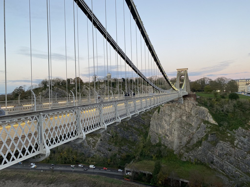
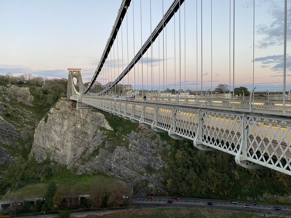
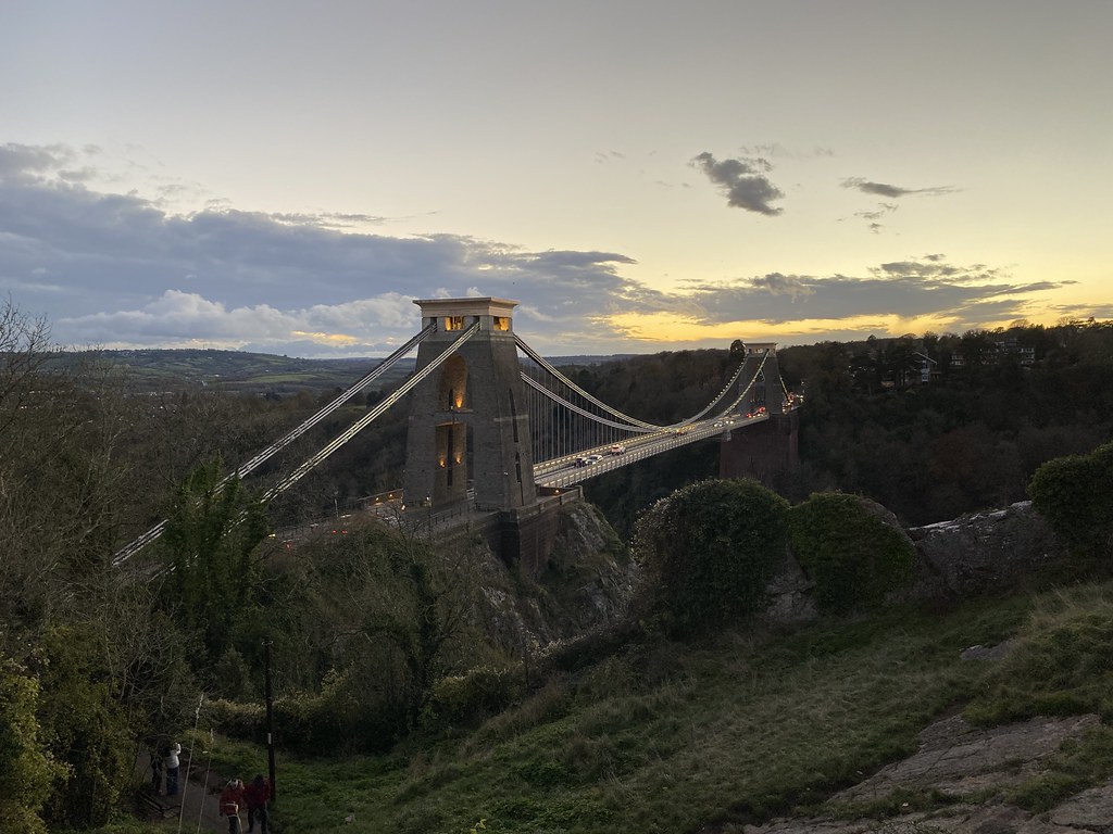
Hotel prices ruled out a city centre stay so I found a nice little cheap hotel in Clifton with the intention of catching a bus into town to meet my old workmates for beers and a curry. The afternoon rain seemed to have cleared so I decided to walk instead. First I wanted to take a closer look at the Clifton Suspension Bridge.
Its an iconic site and the first time I’ve been over or near it since I was a kid. Even though the light was fading I enjoyed wandering across and back to take in its precipitous position and views of the Avon Gorge.
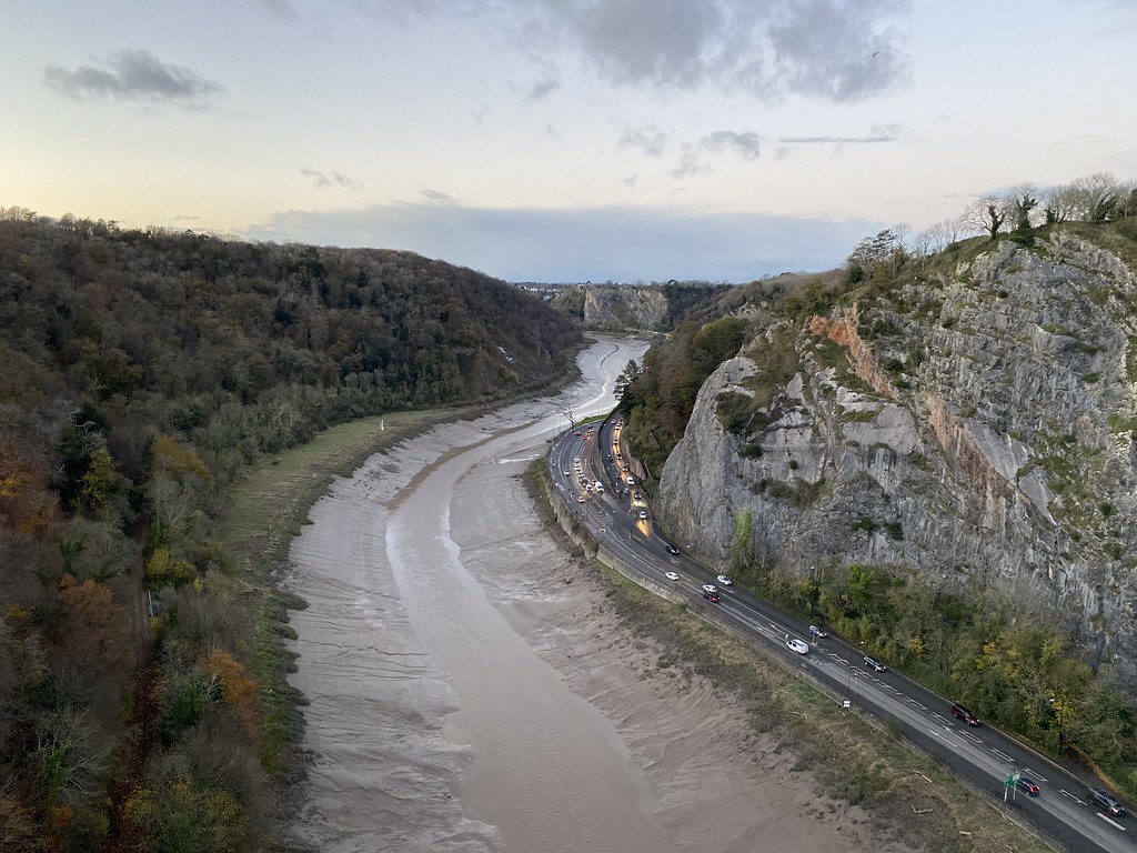
Looking upstream towards the city centre.
And downstream along the main part of the Avon Gorge.
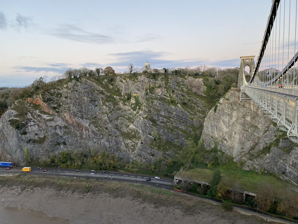
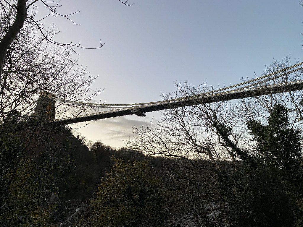
The building on the opposite side is the Clifton Observatory so I thought I’d take a look.
A fine building.
Commanding excellent views over the bridge to highlight what a marvel it is spanning the gorge.
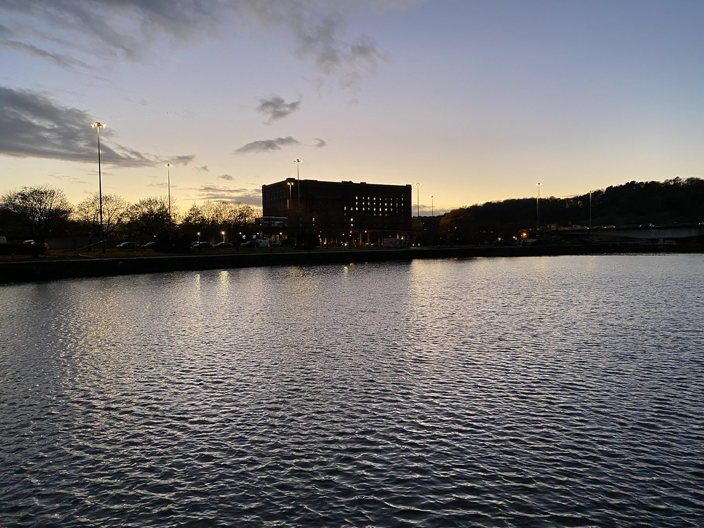
The sun was now set and darkness encroaching so I bid my farewell to the bridge and headed down the steep path to begin my walk along the Bristol harbourside.
The bridge from below.
Early evening down by the water. A great precursor to a great night out with friends I hadn’t seen in over 2 years (hoping its not another 2 years before we can meet again)
Overnight, Storm Arwen hit the UK but I was still keen to take in a walk. Things didn’t look promising as I parked up in Cheddar. I was the only car in a huge car park, the wind was howling and rain was falling heavily. Checking the very useful Netweather App I could see the rain was just about to clear. I decided to go for it and by the time I set out and started the steep climb out of the town the sun was out.
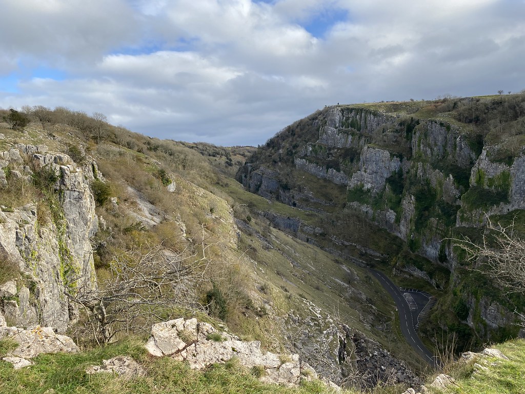
My plan was a long held wish to walk a circuit of Cheddar Gorge. My research told me there was a well marked trail along both sides so I set off on the northern edge path.
Its a fine path but mostly follows the woodlands so you don’t see much of the depths of the gorge other than a short section near the start.
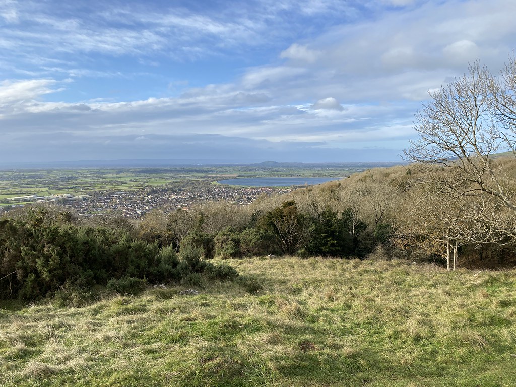
It was a nice route though and being post-storm was deserted for now. The views out over the Somerset levels were rather good.
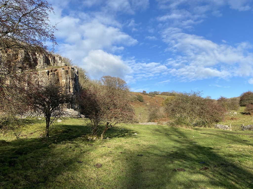
Other than the wind it was quite a decent day now. I decided to extend the walk and see if I could reach Beacon Batch, highest point in the Mendips range.
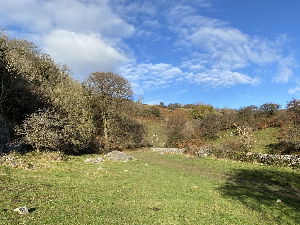
This follows the West Mendip Way and as it leaves the gorge behind runs through a very pleasant little valley.
This long stretch through a massive field was especially fine and easy walking.
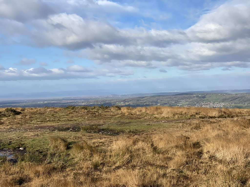
The summit moors of Beacon Batch are not terribly interesting. It’s a bit muddy and bland although the views are ok. The shot below has Bristol Airport in it and I was disproportionately excited to see all the EasyJet planes parked up.
Looking out over Weston Super Mare to South Wales.
The summit trig pillar.
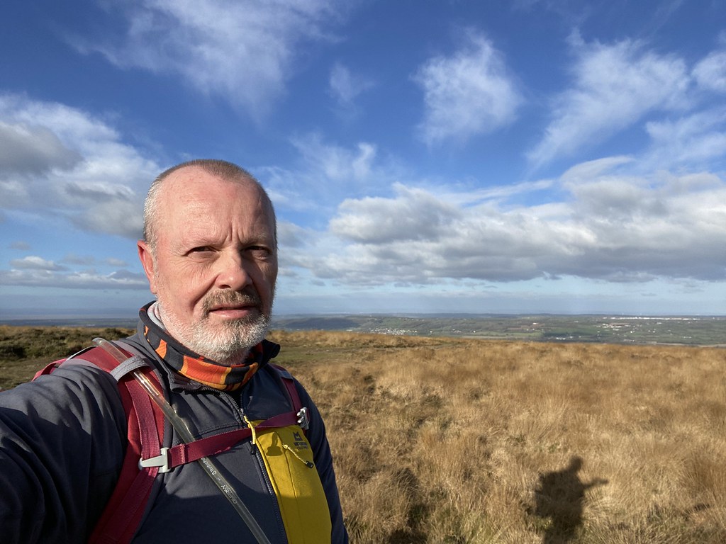
Summit selfie that really doesn’t do justice to how windy it was. I was struggling to stand up as Storm Arwen had her final hurrah.
It had been a long walk from the gorge so I had to push on and head back. The various grassy fields and paths were extremely fetching and I was keen to stop for a brew but it wasn’t until I reached the wonderfully named Velvet Bottom that I managed to find a place out of the wind.
The clouds had rolled by then as well but I enjoyed the rest as I’d been walking for over 3 hours without much of a break.
Looking back to Beacon Batch.
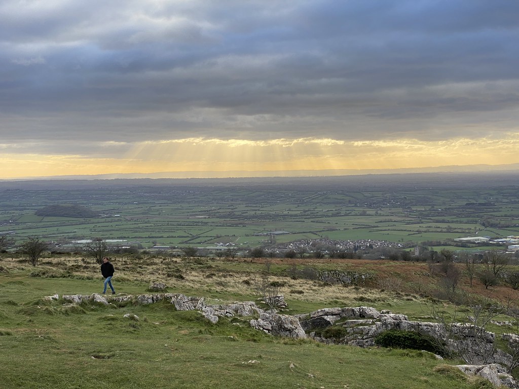
Time to take a look at the southern edge of the gorge. Crepuscular rays over what I think are hills in Dorset.
This side was much more like it. You can walk along the edge of the precipices and stand on a variety of exposed outcrops and peer into depths.
Spectacular views over Cheddar reservoir to the Quantocks and north Devon coast. The small hill in the middle distance is Brent Knoll.
Photos on a grey day don’t really convey how deep the gorge is and how exposed the edges are. It was a really superb section that I thoroughly enjoyed.
A steep descent down the stairs/steps of Jacobs ladder returned me to the cheesy part of the gorge (see what I did there), all gift shops and tacky money grabbing enterprises but you still get the feel of the immenseness of the gorge.
Quite a stretch of 11 miles in the end although it wasn’t really a day for hanging around so I was finished before it got dark. Another on my list of walks in this area ticked off but still a few interesting spots on the agenda.
Over the past 18 months I’d been largely focused on cycling for my daily exercise. I’ve been making an effort to get out for at least an hours exercise every day in a drive to drop some unwanted weight. Its worked to a decent extent as I’ve lost around 7kg (helped by cutting out snacks in the middle of the day and evening).
I was however finding that while the cycling was great for my aerobic fitness, it was hampering my walking muscles. At the end of any reasonable day, whilst I was quick to climb, my legs would ache for a couple of hours afterwards, not used to carrying my weight around.
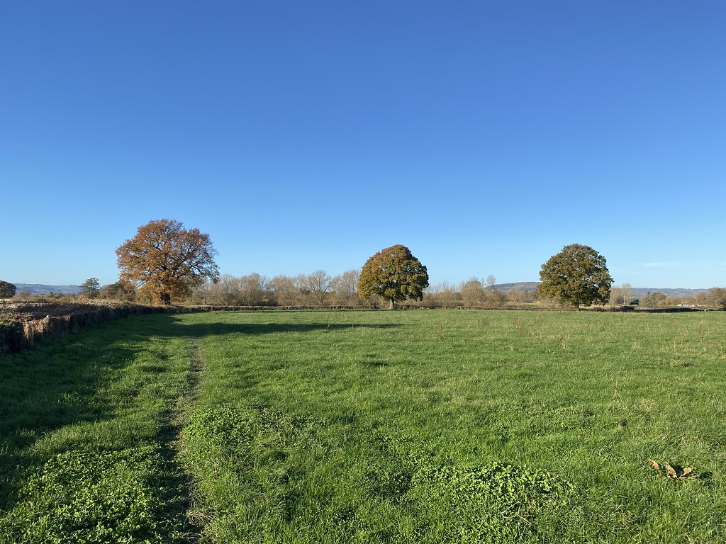
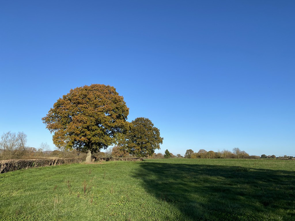
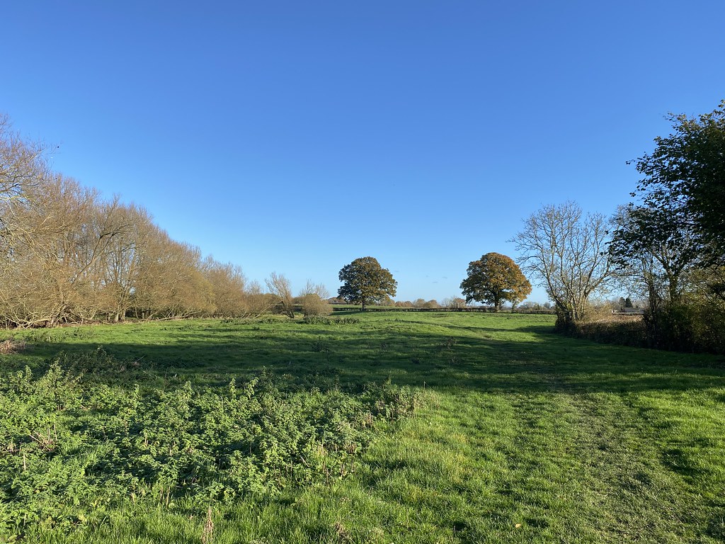
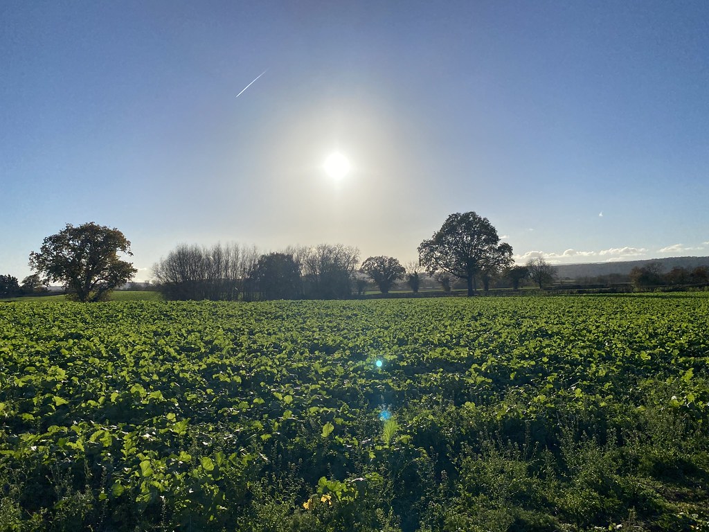
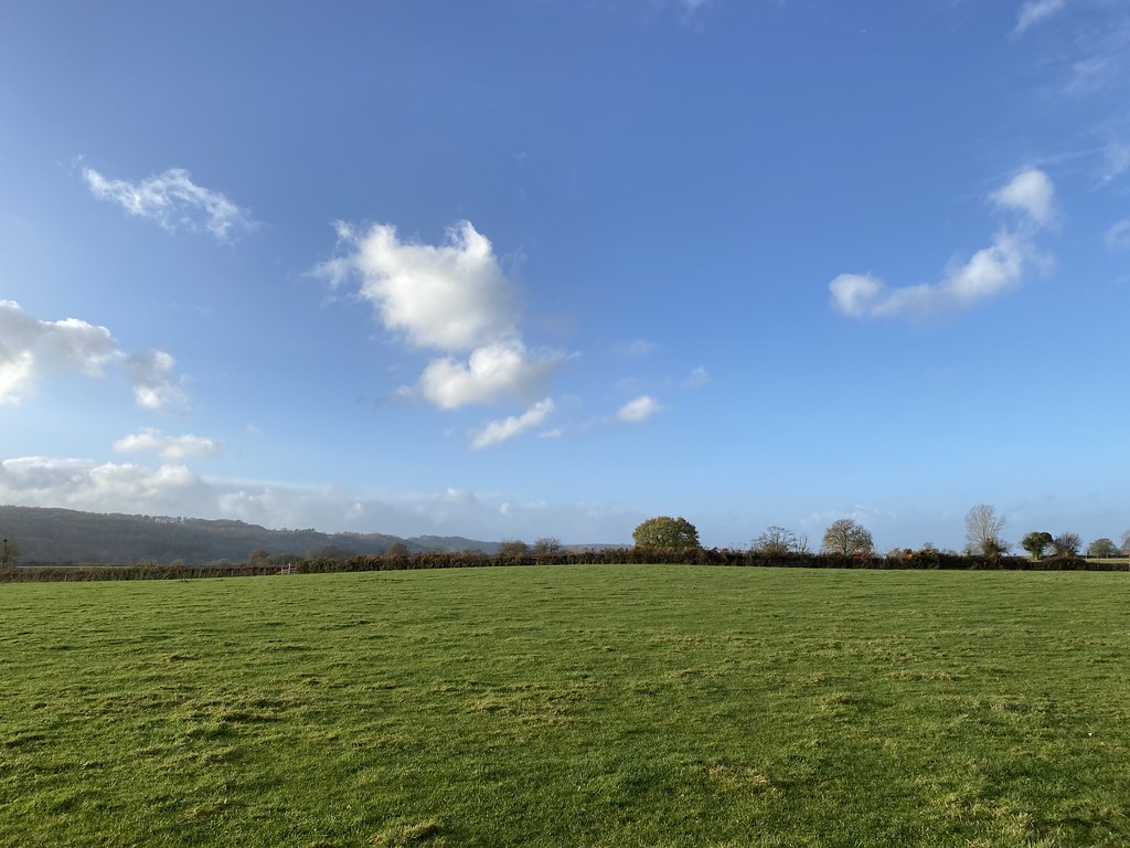
Since the summer I’ve therefore been mixing walking with cycling for my daily regime. After a little experimentation I’ve managed to devise 3 or 4 decent routes across my local fields that avoid the worst of the mud and livestock. Most are from my front door (just one that involves a car journey) and all around 3-4 miles that I can do in an hour or so. Walking is at a brisk rate to get the blood pumping as there is barely any uphill worthy of the name.
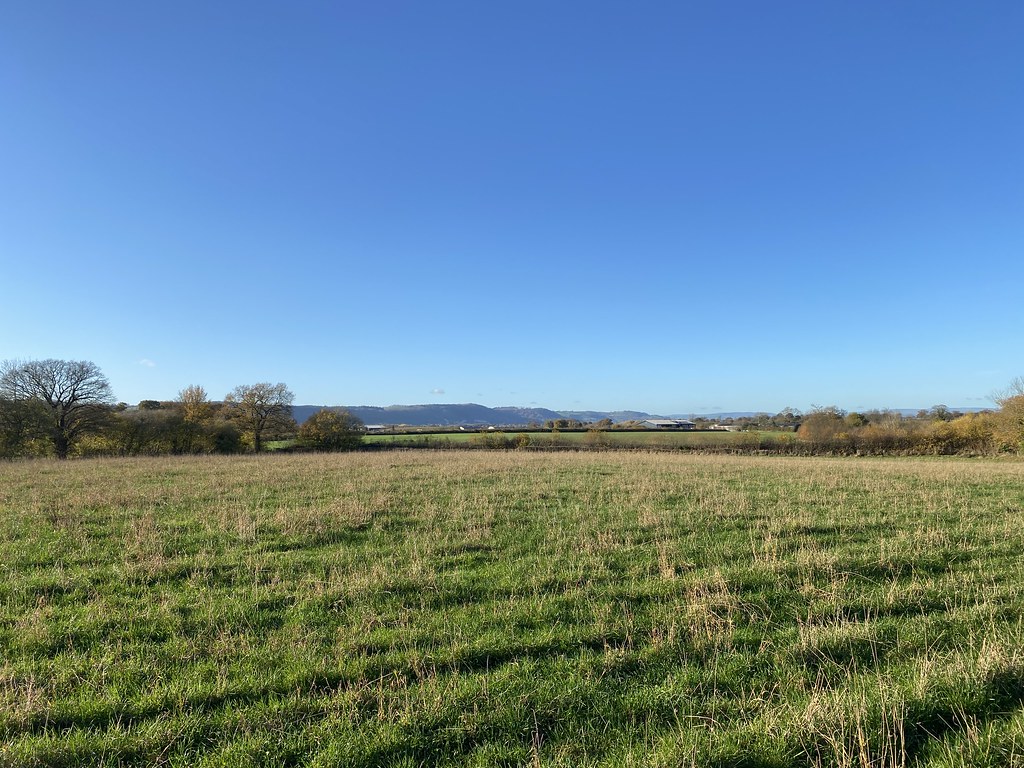
These first few pictures are from what I refer to as my “North Loop” on a particularly fine afternoon between work meetings.
The trees were in their autumn garb and looking very fine.
This field of green stuff (no idea what) also looked rather fetching.
I’m always mesmerised and impressed in equal measure by how farmers can create such perfect straight lines when ploughing and seeding crops.
These fields near the various Wormhill Farms are always a pleasure to walk through. The farmer has very kindly left the footpaths clear so, other than the mud when it rains, they are easy to walk through.
The return across the same fields back to the village.
Route Map:
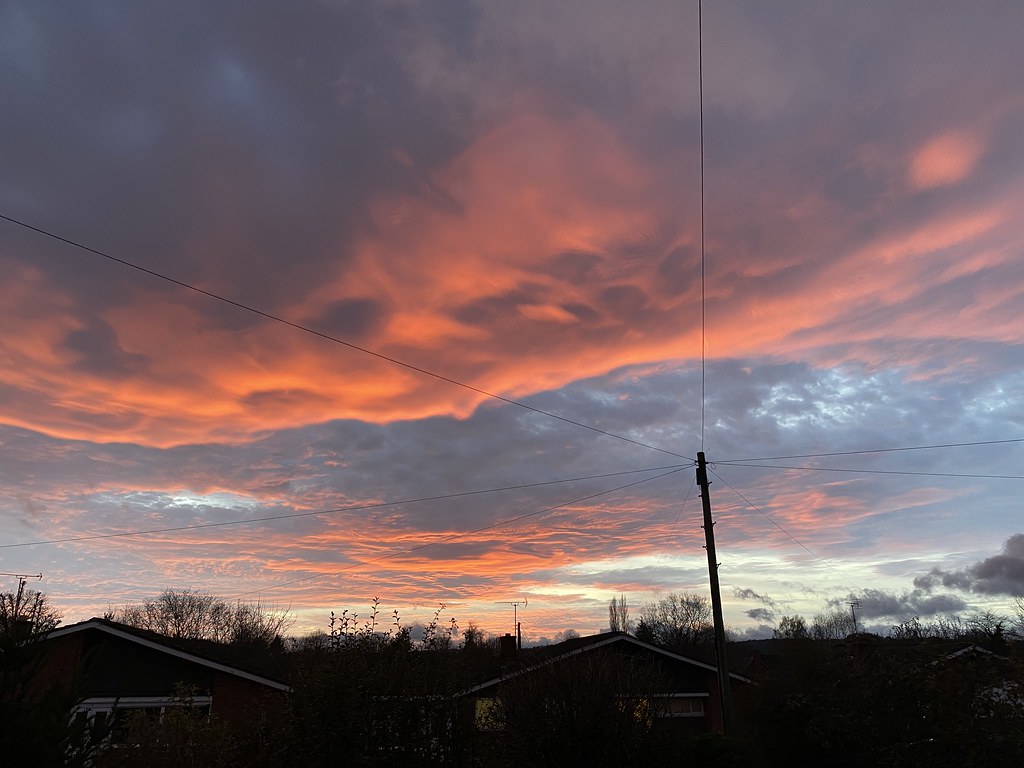
And a couple of nice sunset shots from my front garden.
Every week I visit my local farm shop to pick up fruit, veg and whatever else they have in an effort to support my local businesses. For a couple of weeks the direct route by road was closed for people to lay Broadband Fibre (by a Private company as BT can’t be bothered with the rural areas). This meant a detour that takes me through the village of Bredwardine where there are some slightly more uphill walks I can take in on the way.
Shorter at just less than 3 miles but with a couple of hundred feet of ascent to make up the effort difference.
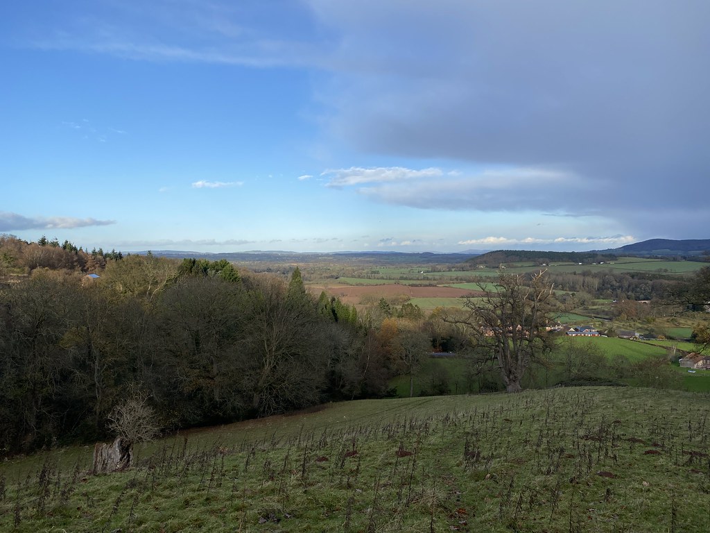
Superb views out over the Marches and the Wye Valley from the modest slopes.
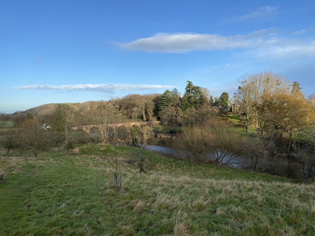
Returning to the car by the bridge and our favourite local swimming spot (not this time of year though!)
And the pretty little church of Bredwardine where I park the car.
Route map:
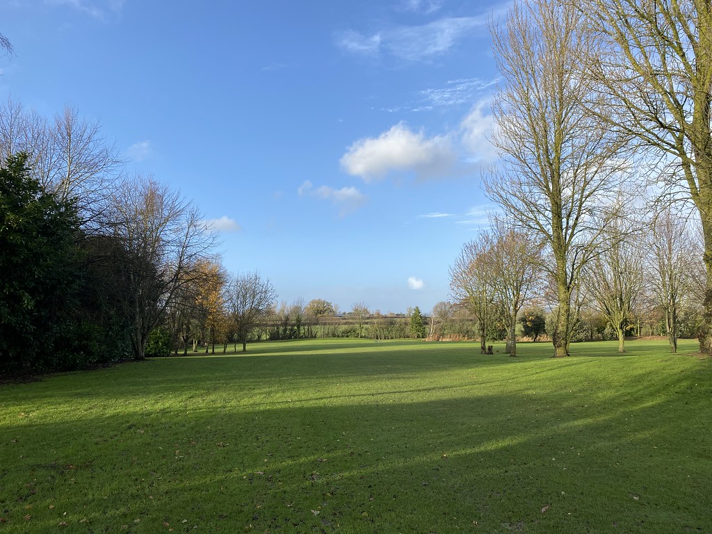
The longest of my routes is my Eaton Bishop circular that takes in a rather nice and petite area of Open Access Land called Honeymoor Common. Sadly I’ve not walked on a photogenic day lately so here are a couple of pictures from a dismal rainy walk today with a flock of inquisitive sheep that followed me across the field.
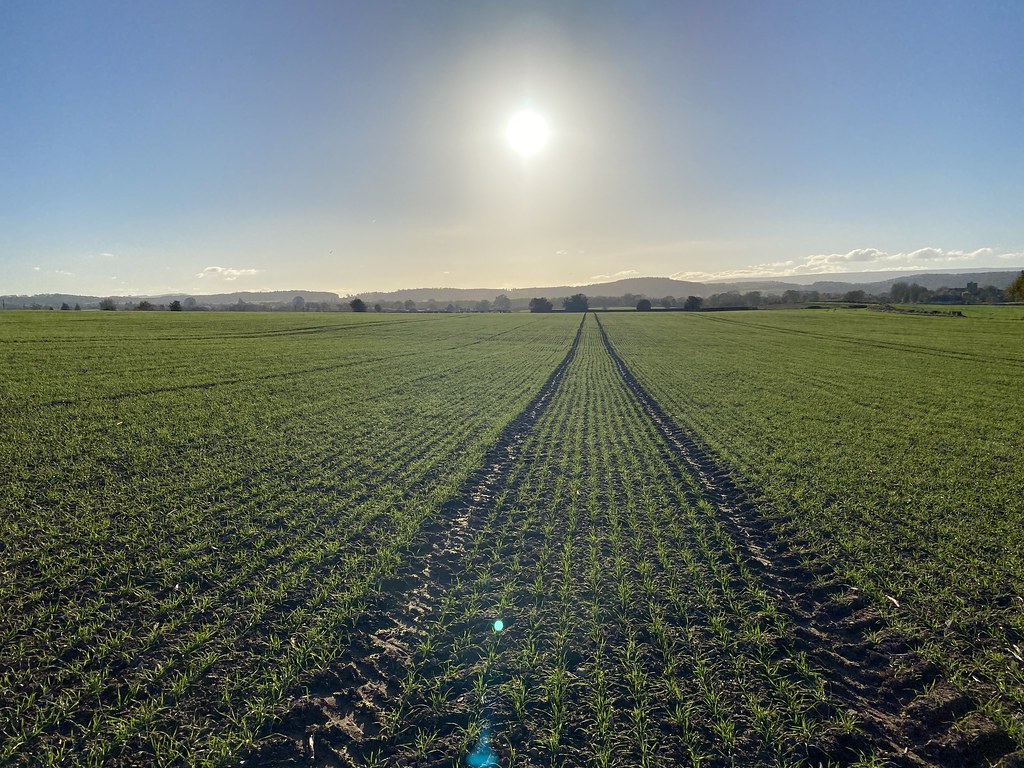
And the green fields close to home.
Route Map:
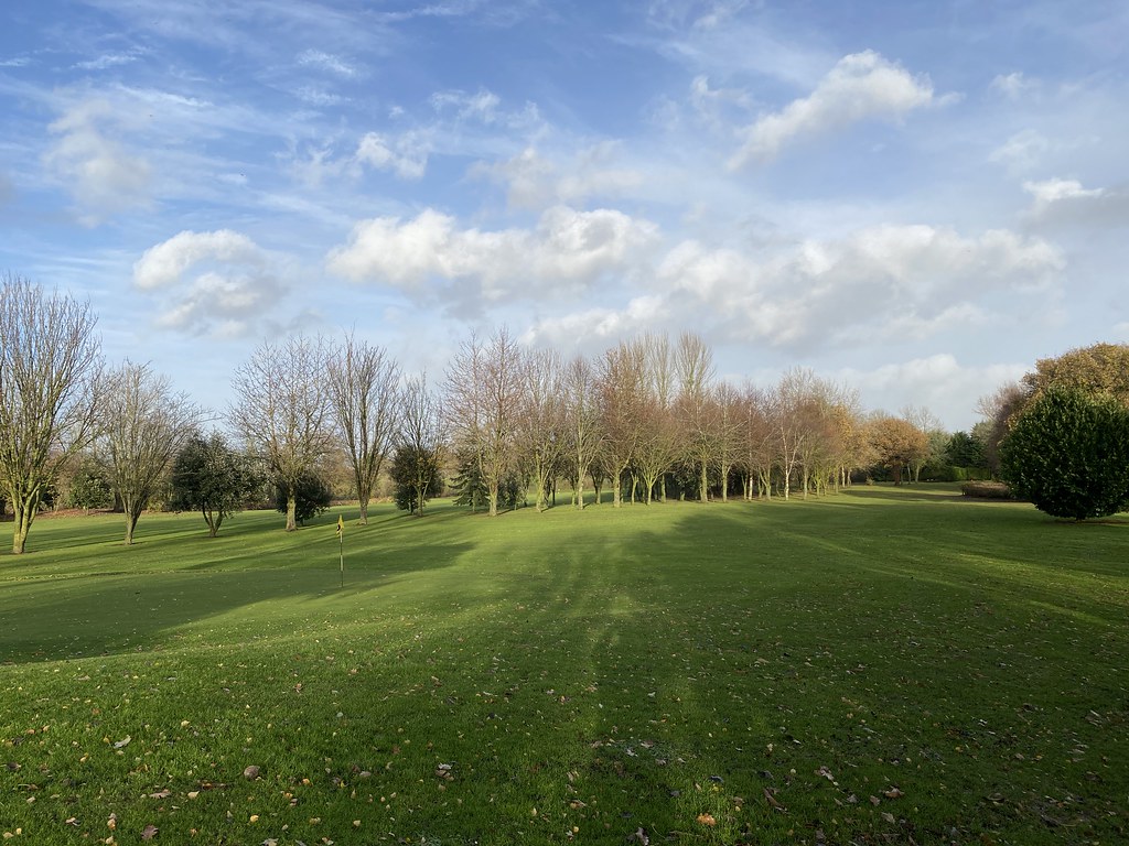
Lastly is my Golf Course circuit, so named as it, well, crosses my local 9 hole par 3 course.
Again, it took a few experimental efforts to fine tune the best route.
The golf course makes for a fine stroll on an autumn day between the showers.
On a weekday it’s almost always deserted.
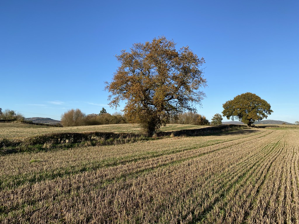
The last few fields on my way home.
We gave up on local walks from home after living here a couple of years but this latest round of exploration has revealed some really nice stretches. There are of course a few fields with cows and horses and few muddy corners but overall I’m now happy with my circuits. Mixing them in with a variety of bike routes means I now have around two weeks worth of daily exercise routines before a repeat.
Route Map:
I hope you’ve enjoyed joining me on my daily walks around my local neighbourhood!
A firm favourite this one and a walk we’ve not done for a while. It’s just over the border in Wales (although its heart belongs to Shropshire) and it was out of bounds for the many weeks of Lockdown. Another fine autumnal day and it was time to head back and enjoy its many charms.
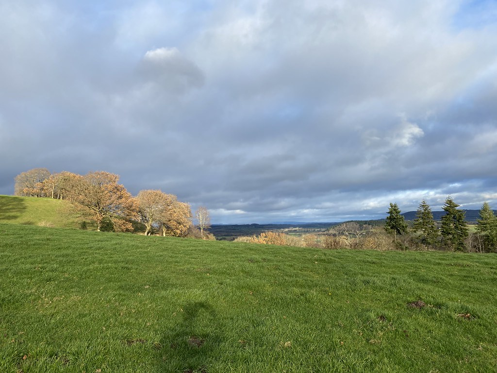
The trees were still putting on their final show of colour before the bare branches of winter.
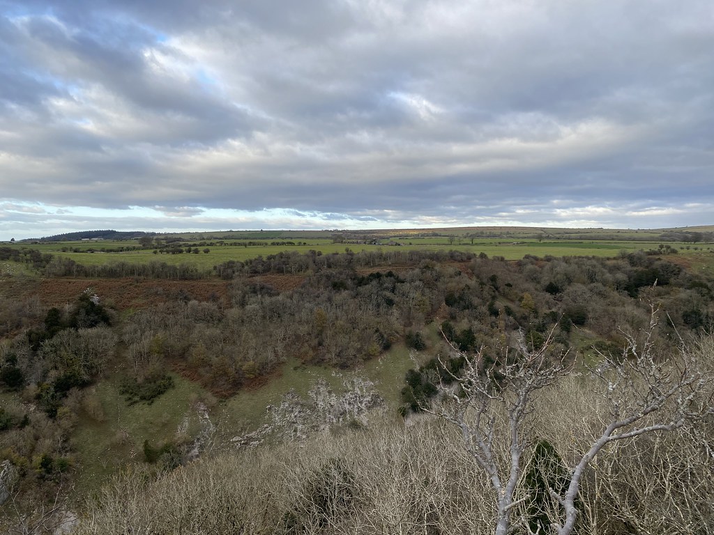
First on the list is Todleth Hill. No paths as such but all open access land and I’ve never seen anyone up here. The views are superb.
The highlight of the walk for me is the wonderful little Roundton Hill. Definitely in my top five small hills.
Nicely framed between the trees.
Its a steep little bugger though but the reward is expansive views. Here to the summit of the range, Corndon Hill.
And out over the Severn Valley to Snowdonia. Snowdon itself is just about visible in the centre of this shot.
When I said it was an autumnal day, it was more like winter. The air was chilly and there was a strong breeze that made it feel rather icy. Lunch on the summit was the hunkered down in the grass behind a rock sort.
Onwards to Corndon Hill. The improved route along a lovely grassy path much better than my original try, bashing through the bracken.
Looking back towards Roundton Hill.
Corndon Hill is quite isolated and while only 500m high, this isolation provides some fantastic and far reaching views. Here to Stiperstones.
The Long Mynd.
The wind was howling on the top and I reached for hat and and gloves for the first time this new season.
The distant Cheshire Plain.
TBF heading down towards Lan Fawr.
Lan Fawr is a wonderful collection of small grassy knolls, again with spectacular views out to mid-Wales. Its a great place to linger, but not today, exposed as it was to the cold wind.
The route down is along a high level grassy path, marked with wind blown trees. Its a superb stretch that I look forward to when I do this walk.
We managed to find a spot in a field lower down for second lunch, tucked behind a hedge and out of the wind. A great view across to Roundton Hill, looking much higher than its 370m.
Whilst there are paths to make a circuit back to Churchstoke, the best way is simply to repeat another walk over Todleth Hill.
This time the setting sun was bathing Roundton Hill in a gorgeous deep golden light.
And the setting sun makes a grand finale as you wander back down to collect the car.
A memorable walk, all the better for the fact we only saw a handful of people despite it being a blue sky day.
Back from blog silence. I was busy with planning our first family holiday for over a year, a Road Trip to Nice. Followed quickly by the work required to cancel it due to the new travel rules that meant a positive test would have us stuck in quarantine in France, a risk we couldn’t afford to take. Sadly it looks like my annual ski trip will go the same way.
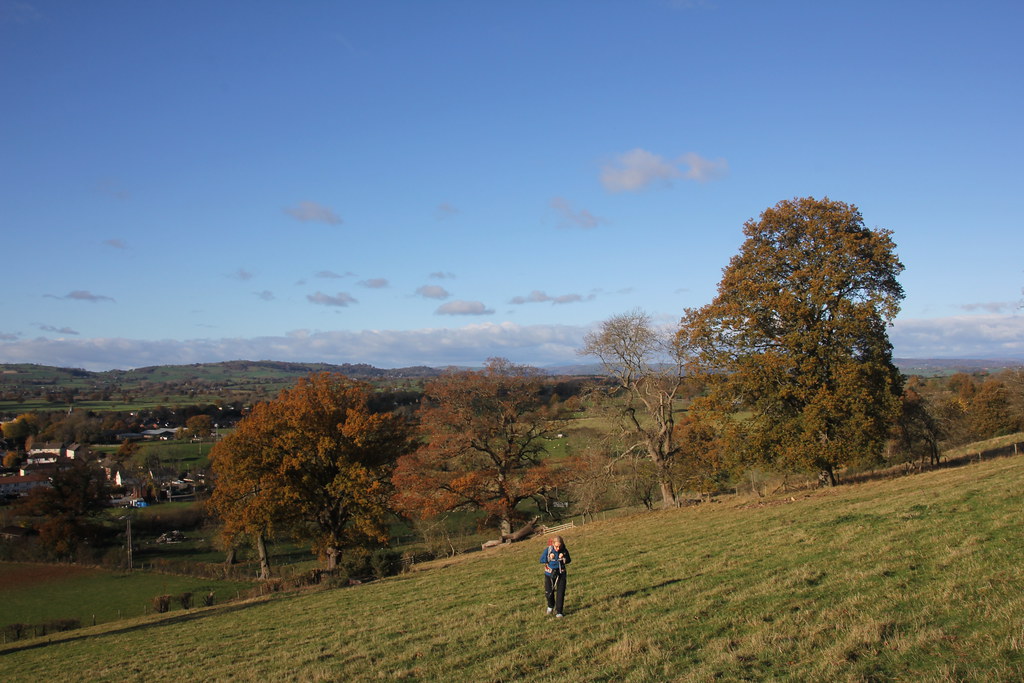
So back to sunnier thoughts and a gorgeous day spent on our nearby little mini mountain of Ysgyryd Fawr.
I must thank the people at the National Trust for now charging at the main car park. Being the tight-skate that I am, I was forced to look for another (and free) start point and have since discovered the route up from Llavihangel Crocorney. Its a much better route offering a great half day with the lower open fields providing expansive views and a gentle ascent (the old route was busy, steep and enclosed by dark forest).
I used to think these trees were perhaps Elms, killed off by the Dutch disease but looking at the leaves I think they are Oaks. More than that they seem to be reviving with new leaf growth. I’m sure they used to be a line of completely dead trees although my memory could be playing tricks.
As you wander over the open fields the views of the Black Mountains begin to open up.
Autumn colours on full display.
The title of the post refers to the fact that all around us on all horizons was grey and gloomy looking cloud. We were in a the aforementioned blue hole in between and it was amazingly clear and bright.
The summit was as always busy but we found a quiet spot out of the wind.
Warm enough – just – for lunch and a cuppa. Be a shame not to with views like this.
The photo below is Bryn Arw. We’ve noticed these words cut into the dying bracken as well as noticing new fences and a whole stack of sticks there to support some kind of new growth. It says “daw eto ddail ar fryn” which translated reads “there will be leaves on the mountain again”. Its part of a plan to plant a million native trees in mid-Wales which I think is a superb idea. I really hope it succeeds. A couple of links here if you’re interested:
The walk along the ridge was as enjoyable as ever.
I think we take this little gem for granted sometimes. Such a superb mountain isolated and spectacular.
The return along the eastern flanks was equally delightful. Hardly anyone walks that part and the autumn colours in the clear sunshine were beguiling.
More broad open fields on the return.
And a look back to the summit.
There is a circular route (which the map at the end shows) but the more open fields on the outward leg were so good it seemed appropriate to return the same way.
The new growth clearly visible on what I thought was a dead Oak tree.
The road down from Llanvihangel Court was beautiful as the sun started to set.
And the view of the church from the (free) spot we parked up was pretty fine.
By the time we got home all that grey cloud had moved in and everything was gloomy. Perfect timing, perfect walk, perfect day.
I spend alot of my time surfing the web looking for ideas on places to go, walking routes, travel ideas and tips to plan the perfect holiday or day out. (I'm a project manager I like to plan). I thought it was time to share my own experiences and contribute to the vast amounts in information that's already out there.
I'll also add in some gear and tech reviews and when something irks me I may even use this forum to have a rant - I do that pretty well I'm told.There are a few pages at the top that give a bit of background to what I like to get up to and what you can expect to see in my posts. I'm not exactly a creative writer but I hope some people will find my stuff useful or inpsiring or at least enjoy some of my photos.