Archive for April 2018

Sometimes a walk is about expansive views and wild mountain scenery. Other times it’s about exploring the history of our upland areas and how we sought to make use of it. The area to the south of the Usk Valley near Abergavenny, bordering on the South Wales valleys has a rich industrial heritage. Looking for an easy walk on a spare Saturday me and TBF went to explore.

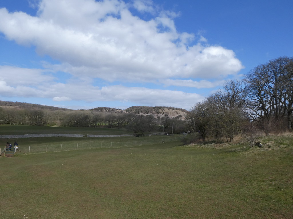
Nice thing about this walk is there is almost no ascent, happy days! The car park at the Keepers Pond is just short of 500m so plenty of decent views as well. It’s a popular and very pleasant spot and we were lucky to grab a parking spot. We hadn’t expected much from the weather after a week of dreary grey skies but we were delivered a perfect spring day and many people were taking advantage

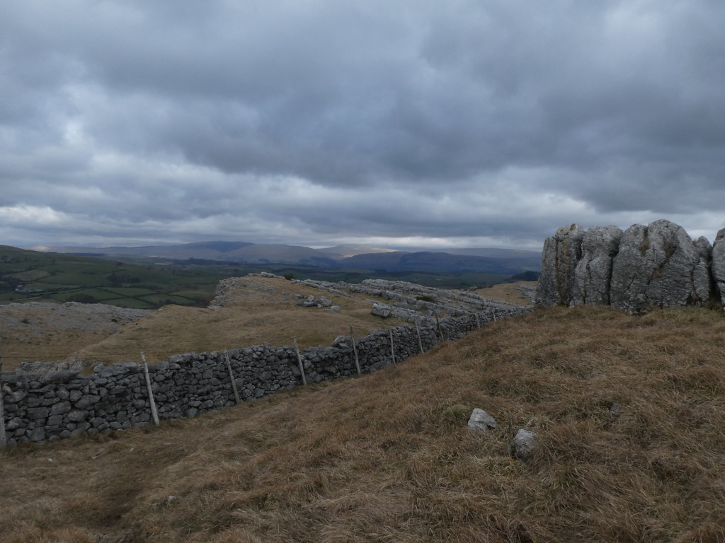
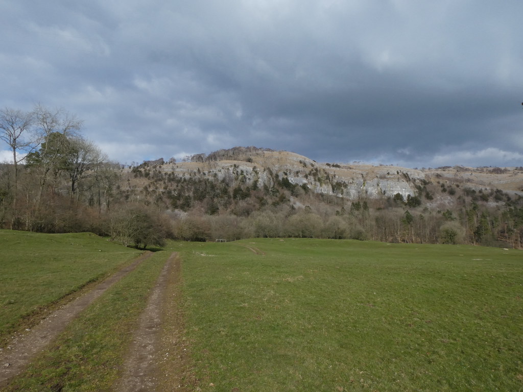
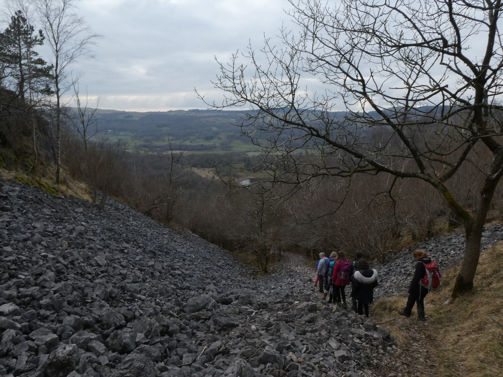
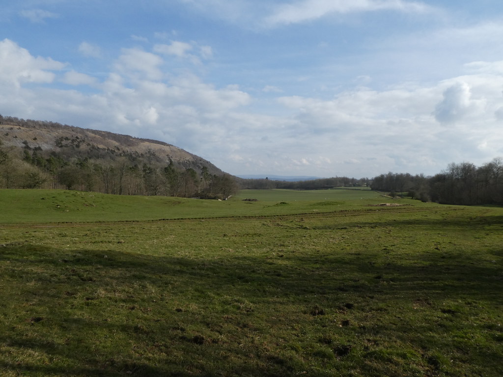
Our first stop off was the massive disused quarry of Pwll Du – the Black Hole. The whole area is now a World Heritage Site, The Blaenavon Industrial Landscape, where coal and iron mining were once king. We were following the Iron Mountain Trail, very vaguely, and its well worth seeking out if you like this sort of thing

The quarry is highly impressive and there are paths around its edges and in fact right across the exposed ledges at the top. It’s now marked as unsafe and whilst the younger me would no doubt have scrambled across, I decided, as I mentioned in my previous post, to let my sense of mortality prevail


The views were superb with hazy cloud filled valleys contrasting against a warm sun dazzling from a blue sky

TBF seemed to be enjoying being my photographic muse for the day


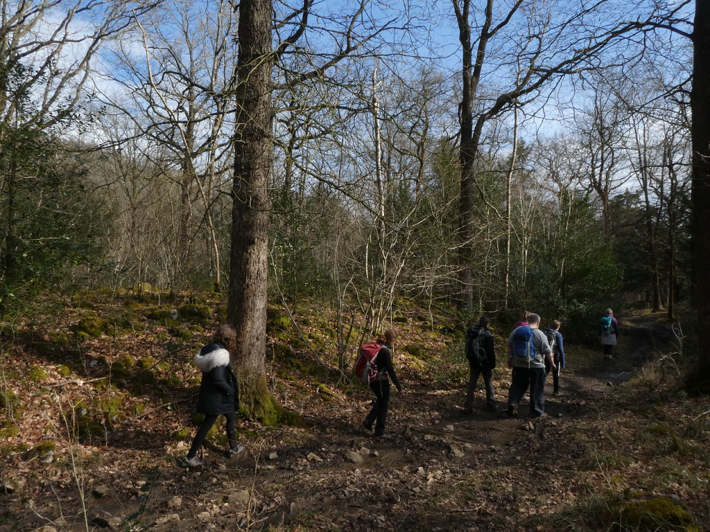
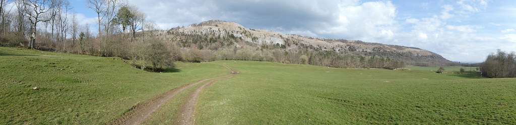
After passing the Lamb and Flag pub (and regretting that I had no cash to purchase a cheeky beer) we extended the route for a circuit of the eastern side of Gilwern Hill. It was a little walked, overgrown and seriously boggy path until we diverted to a better one


There were rather large holes in Gilwern Hill, like somebody had come down to scoop out a hole and forgot to fill it in. I quite like these abandoned quarries and the landscape they leave behind. The old spoil heaps eventually grass over creating a bizarre landscape. Makes me hopeful that more recent efforts to despoil our wild lands will eventually recover. Or am being naively optimistic


We wandered over the summit and past what seems to be the norm for these parts, a radio transmitter or whatever it actually is


This is a Balance Pond. The water once stored in the pond was used to operate a counter balance lift that raised and lowered trams through a vertical shaft cut into the face of Pwll-Du Quarry below. Interesting stuff


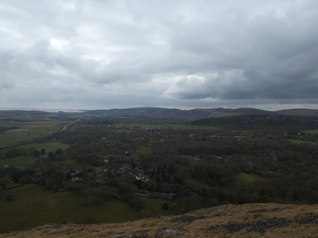
That took us back to the Keepers Pond but it was such a gorgeous day we carried on for a circuit of Blorenge, the oddly named eminence that overlooks Abergavenny. I like the cloud in the this shot, very reminiscent of Stingray from the puppet TV show of my youth

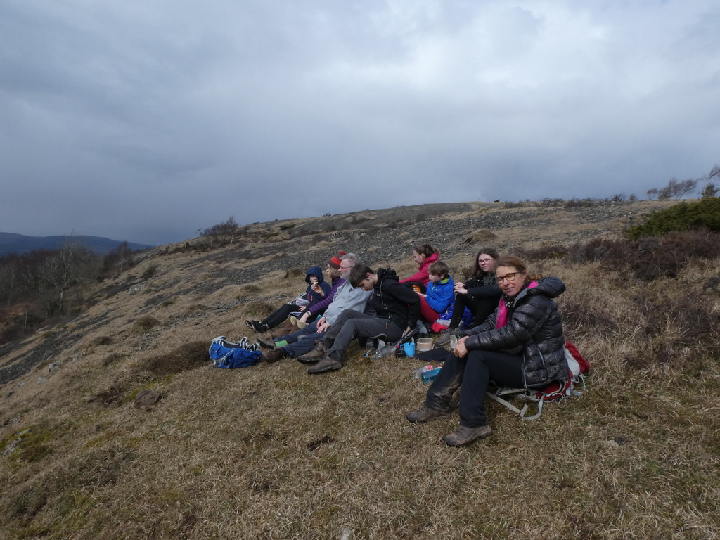
A stop for a cuppa and snacks to recharge the batteries and onwards.

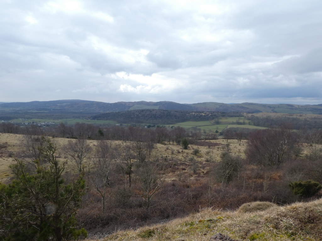
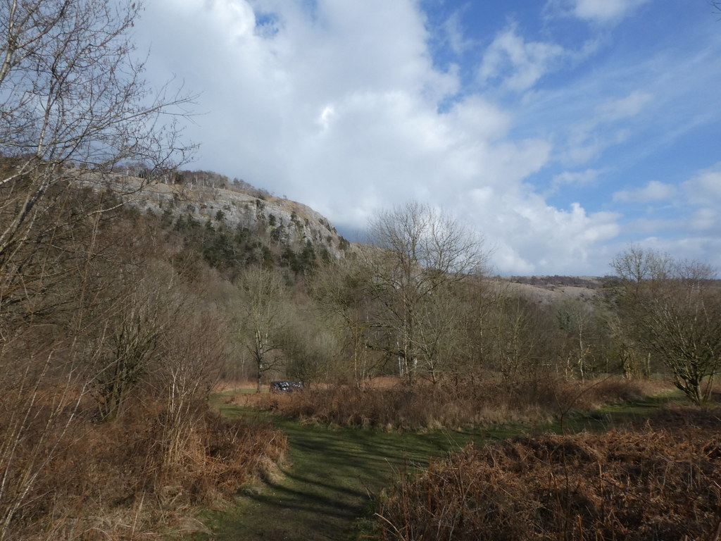
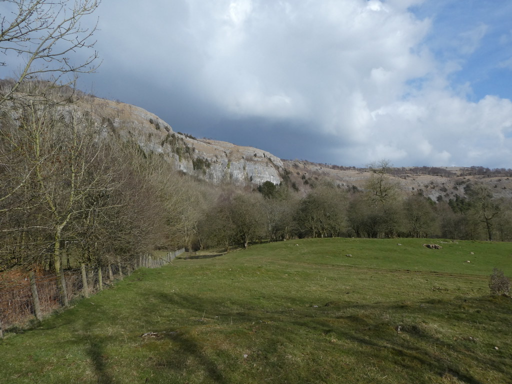
More quarried areas and the fairly dramatic grassy overlook on the northern slopes

Its one of my favourite spots in this part of Wales

Photos don’t do justice to what an elevated and sheer drop there is. Something of a surprise that its not very well known and this edge in particular is always quiet


We finished off the walk by traversing the summit of Blorenge. It’s a seriously soggy and boggy tract of moorland

One final pose from TBF on the summit. The bloke in the background twice ignored my attempts to communicate a cheery hello. I always greet every walker I see when I’m out, and always return a greeting one when offered. Its rare not to get a response of some sort, even if just a nod. No idea what this joyless soul’s problem was.

Back along the path to the car park and more transmitters. It was a glorious afternoon and I was happy to be out in sunshine. So happy I forgot TBF and left her a way behind in my solo reverie


And then we were back at the Keepers Pond and the car.

I’d just thought we’d have a short stroll to pass a Saturday afternoon but it turned into quite a long walk, over 9 miles

Spring was here at last – well for one day anyway. It rained all day on Sunday!

It seemed that the theme of the weekend was South Lake District Limestone. As the weather was so bad on Easter Monday (me and Mark managed a very short and very wet walk in the rain), we decided to stay an extra day on the basis of a decent forecast for the Tuesday afternoon. There was scepticism aplenty but right on cue the weather cleared after lunch to abundant sunshine and we all headed out en-masse to meet with the Tower Captain, Captain Faff or whatever one of his many nicknames was in use on this day.
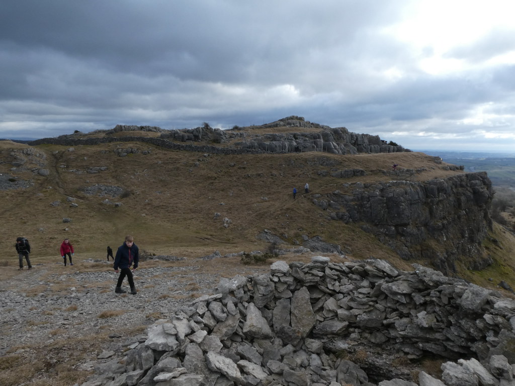
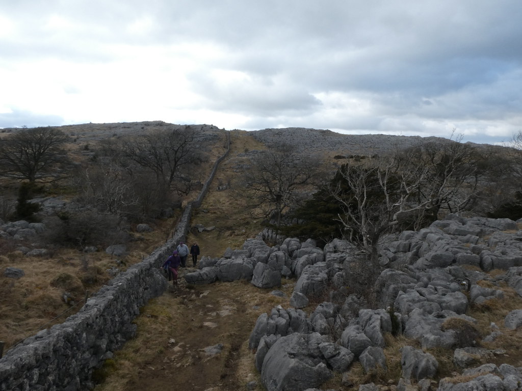
This time it was to be the Limestone edge of Scout Scar, across the Lyth Vally from Whitbarrow Scar where we’d been a few days earlier. After a bit of messing about with cars so we could do a linear walk we were parked up at the northern end and we were off

Another quite superb piece of quiet and undiscovered Lakeland, helped by the bright warm sunshine and clear expansive views


There had been some quite heavy snow in the Lakes the day before but it seemed to have all melted back

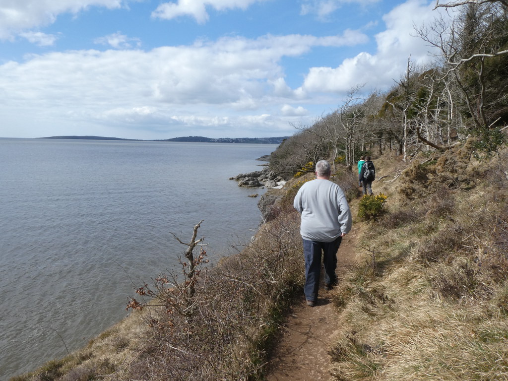
On Whitbarrow Scar the paths run quite a way back from the edge. On Scout Scar you can walk right along the cliff edge. It’s a spectacular walk

Views back across towards the Pennines and Howgills

A Dangerous Brother in full flow


TC had his two dogs with him, very bouncy they were and seemed thrilled to have a whole gang of people to throw them sticks. Made me remember how much fun walking with a canine companion is


Across the Lyth Valley and Kent Estuary, Arnside Knott in the distance

We took in this small church on our way down. No idea what it’s called as its doesn’t have name on the map (I’m sure Mark will add that detail when he comments)


It’s certainly right up there, high on the list of Ecclesiastical buildings with a great view. Another book maybe?

We finished the walk through the woods of Brigsteer Park to see the Daffodils. Have to say I found that stretch a bit tiresome as it was relentlessly muddy. It didn’t spoil either the walk or indeed what had been a tremendous weekend with great walks and great company. A proper holiday indeed

And yet there was one more treat to come before the long drive home. TC is so named as he’s involved in the local church as a bell-ringer. He therefore has access to the tower and asked if we’d like to take a look. Absolutely


After climbing the very steep and narrow stairs he showed us how to ring the bells and how it all works, nothing like how I imagined


Then it was time to climb up to the tower roof. No spiral staircases, just a ladder, a very exposed move across the rafters above the bells and then a steep metal stairway. The younger me would have relished the adventure, the older me was scared witless by it

The views were superb and even though it had clouded over a bit we had a sunset to admire

The Tower Toppers

I found the roof a bit scary as well, probably due to the low wall and the fact I had two Dangerous Brothers skittering about the top


A view of the bells, when in “storage” they are facing upwards. I never knew that.


We thanked TC profusely for letting us make the visit. Something special, almost felt wrong or rather naughty in a way and we felt smug waving at everyone else below. A fine way to end the weekend

A final sunset over the garden before we headed home. Massive thanks to Mark, TBH and the family for making us so welcome and of course as is tradition, trying to add several pounds to my waistline 🙂

Another day with our NW friends and another cold but much brighter day. It seems that whenever we stay this walk or a derivative of it always seems to be on the agenda and no bad thing. The coastal walk from Silverdale around the coast to Arnside, returning over Arnside Knott is a classic and one that always brings a smile to my face. The variety of scenery and great views is a winner, this time further enlivened by a fine lunch.
As always on a sunny day the walk through the village and Holgates Caravan Park was lovely, wild spring daffodils in abundance. This short stretch between Holgates and Far Arnside across the fields is superb with views over the bay and up to the Knott


I’m sure I must have done this walk with the tide in but I don’t remember. My memory of this walk is of strolling across the sands and mud towards Arnside from somewhere near the point below. Whatever, the section along the narrow coast path is very fine

The view across the Kent Estuary towards Grange

And back towards Heysham Point and the Fylde

We could see the high peaks of the Eastern Lake District still with plenty of snow. A fact we were reminded of as we turned the corner into the wind where the temperature dropped markedly

The full tide made the final couple of miles into Arnside much more interesting. Not an exceptionally high tide according to Mark but as high as I’ve seen it


The last passage into the village, had us scrambling across paths and diverting inland to drier ground

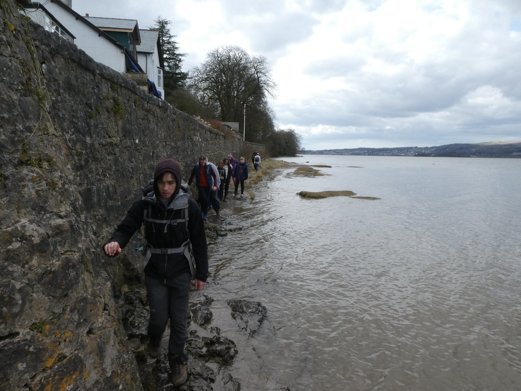
All part off the fun of this walk

Our lunch was at the eclectic Gado Gado restaurant. By that I mean the name is Indonesian but the food takes inspiration from many far eastern origins and it was all marvellous (the sweet and spicy duck was lush as was the less exotic Sticky Toffee Pudding). We stayed a long couple of hours and left with full bellies and a warm glow. Just as well as it had clouded over while we were inside and was now distinctly chilly

A steep climb up the Knott to take in the views, climb trees (younger members) and complain about how far the climb is on a full stomach

Even on a grey day it the views are majestic

Our hosts took us on a path I’m sure I’ve not been on before, a high, narrow and quite exposed route above the southern slopes with great views over the bay and Silverdale village. Makes the Knott seem far higher than its modest 522 feet


Our route home took us past the Arnside Peel Tower

No idea how far the walk actually is, my OS route mapper says just over 8 miles but I’m sure its further

Despite pigging out for lunch by the time we were home it seemed entirely acceptable to spread out a feast of meats, breads, cheeses etc as the round of scoffing began anew. It must have been the fresh winter air! 🙂
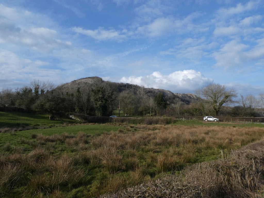
I’ve probably driven along the M6 in Lancashire and Cumbria hundreds of times heading for the Lake District and beyond. As you approach junction 36 for the South Lakes, Farleton Fell dominates the view to the east of the motorway, a massive limestone escarpment that catches the eye and begs a walk. Despite having driven up this way for over 30 years I’ve never been up there. Time to put that right.

I’ve always known this as Farleton Fell but the map seems to show that applies to the northern slopes with Farleton Knott the most prominent, if not the highest point (that doesn’t have a name) with reference to Holme Park Fell and Newbiggin Crags as well.

The road climbs pretty much to the highest point and we set off into what was a very keen and very cold wind. Another beastly one.
The first thing that caught my eye was view across Lancaster and Morecambe Bay to what looked like Blackpool tower far in the distance. There was much scepticism from the kids but I think this proves I was right. You can see the massive rollercoaster in the Pleasure Beach as well on the left of the skyline

It was a pretty gloomy day but we did have some shafts of bright sunlight and as you can see this area of Limestone is rather splendid such that even on a cold grey day its a fine spot

Another one for the much talked about but never to be published “small hills” book

Striding out for the summit


Panorama across the bay

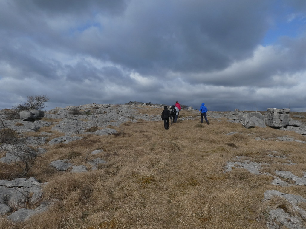
It’s actually quite a distinct edge with some impressive limestone pavements and crags. The DBs were in their element. Until the elder DB banged his arm and DB Junior fell over onto his knees, a painful experience on hard angular rock

The top was colonised by cows sheltering from the wind so we joined them for a short rest. No-one but me seemed all that keen to climb to Farleton Knott but I convinced them


I’m sure, like me , they were glad they did as the views and the limestone scenery were superb

Looking back to the highest point

From summit I could look down on the M6 South Lakes junction that had me excited for reasons probably only I truly understand. Dreams fulfilled we headed back down. It really was bitingly cold

On another day the full circuit of the plateau looks a really rewarding stroll. DB Junior was still deeply unhappy and it looked like everyone else had had their fill so I’ll have to save that for another day. There were some glorious sunny spells that lit up the trees with moody skies behind but I was never quick enough to catch them. This was my best effort

A nice happy photo to finish off
Probably able to round this up to 4 miles if our recent discussions of the accuracy of various mapping methods is anything to go by

Easter normally involves a trip to Scotland for some backpacking. TJS is now a regular but college commitments meant that would be tricky to organise. An alternative plan for some trailer camping near Fort William was invoked to join my good friend Mark and his family in bagging Ben Nevis (TJS hasn’t climbed it and neither have I for over 20 years – I think). However with Scotland still in the grip of winter (and not wishing to take the Dangerous Brothers into a Scottish white-out on Britain’s highest mountain) we needed an alternative, alternative plan, a plan C if you like.
We sort of invited ourselves to Marks place for a few days and as always they welcomed us with open arms, fed us like kings and queens and tolerated our bad habits and boorish behaviour. A weekend of serious mountaineering was replaced with some more laid back easy walks, eating, games, eating, more eating, games and eating. And many laughs. Just what a hard-working project management professional needs in fact.
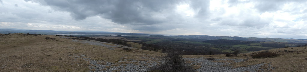
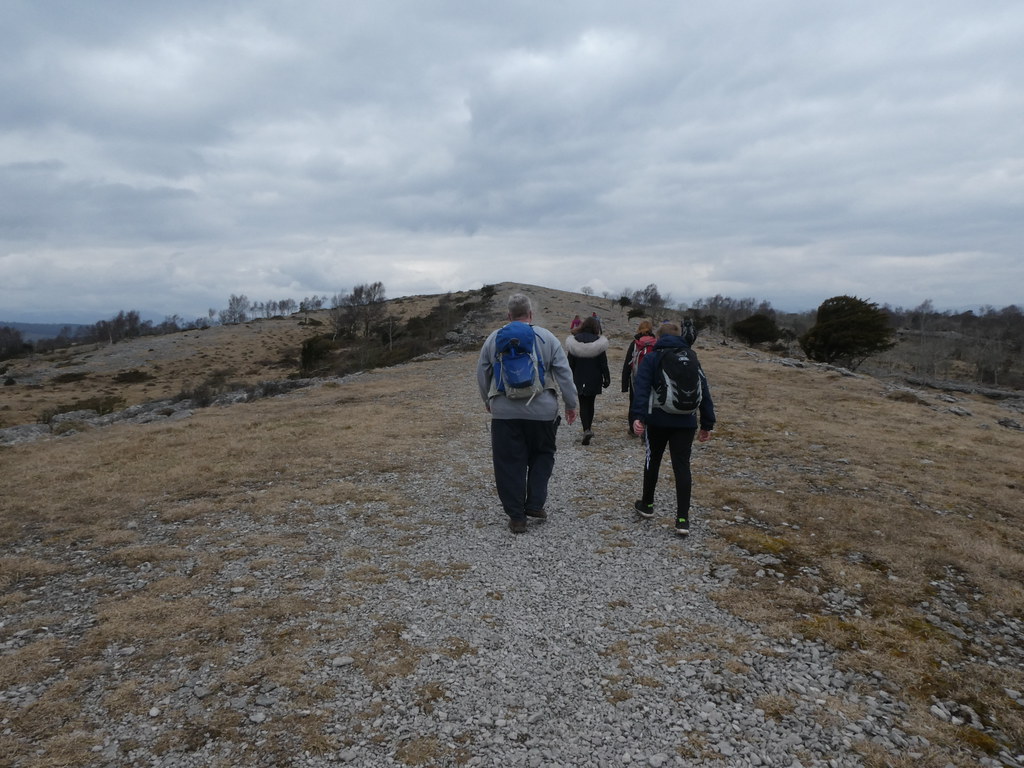
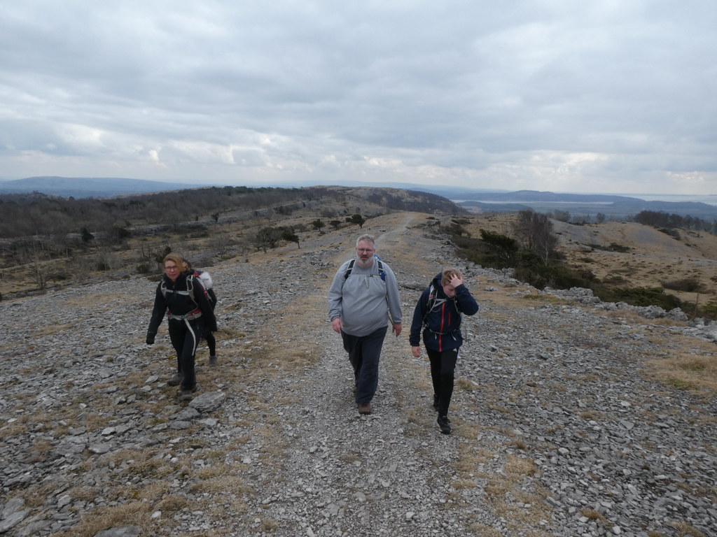
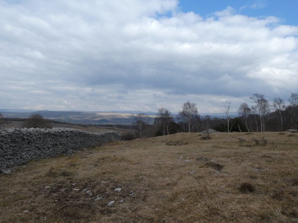
Our first outing took us to the Limestone eminence of Whitbarrow Scar. There are several of these low escarpments in the South Lakes and they make for excellent family walks. Views are expansive and they are always quiet while the masses head to the more famous peaks.
We parked up at the south end and climbed the steep slopes via a very well-made path through Buckhouse Wood. It was a little gloomy and we had a spell of rain.
Mark’s TBH wanted to stop in the rain – when she’s hungry she’s focused! We managed to convince her to walk on a short way until the rain stopped before settling down for lunch. A good call as we had some watery sunshine while sat and scoffed. A very fine lunch stop in the end
As we walked along the broad ridge the weather, while still chilly, showed promising signs of brightness
Panorama looking across Morecambe Bay
And approaching the summit
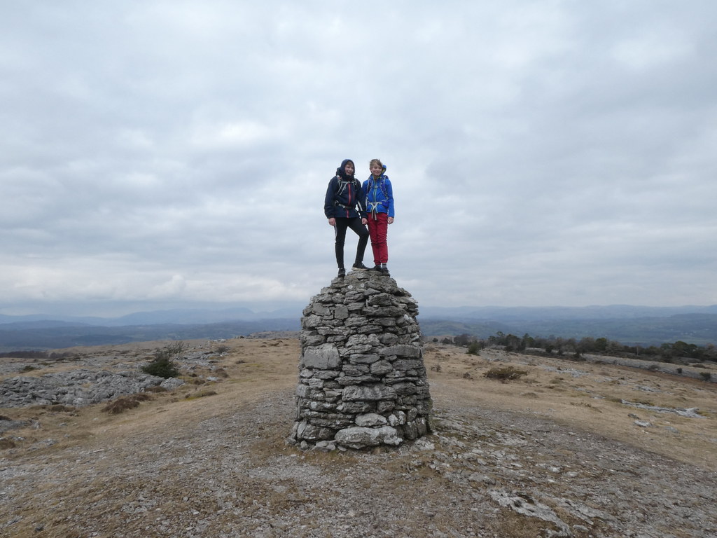
The DBs found endless small crags to play on and made short work of a short climb to the summit of the cairn on Lords Seat
As we began our descent down the very steep slopes of Bell Rake we found this mine adit. Needless to say that the DBs were straight in there and even convinced DB Senior, namely me to join them
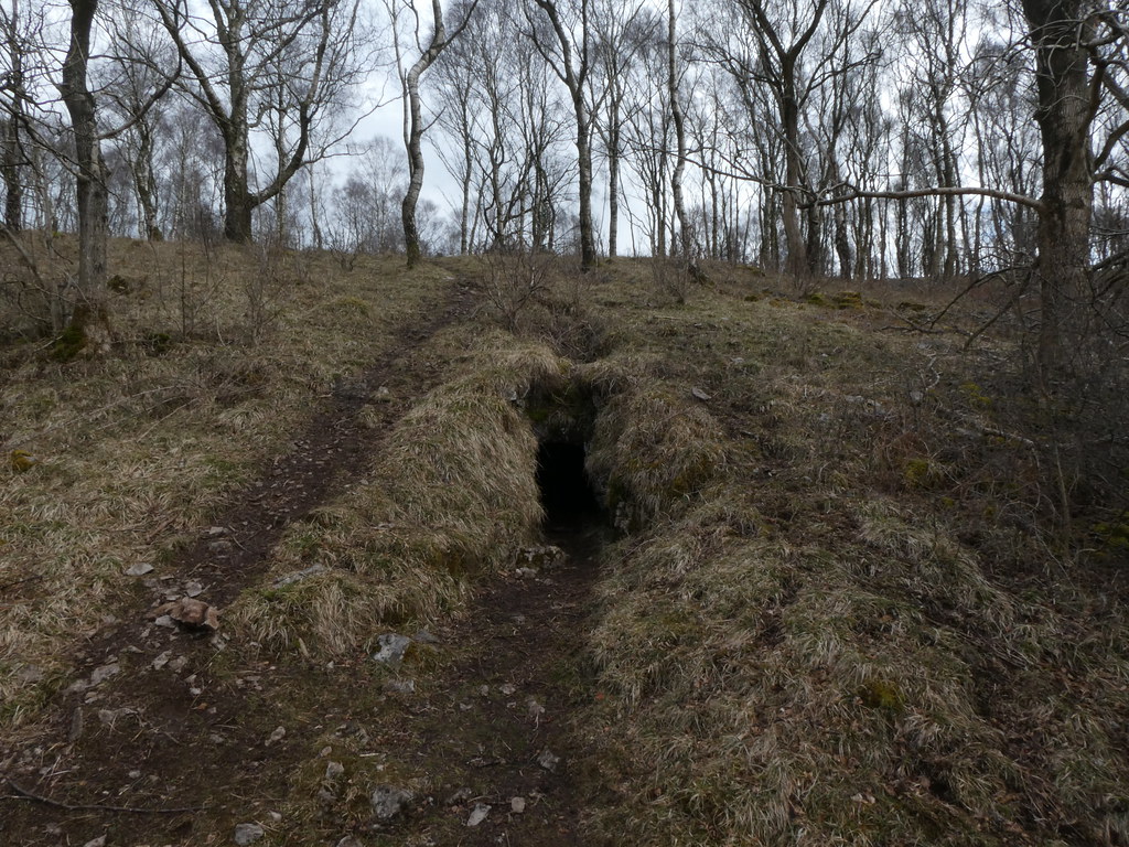
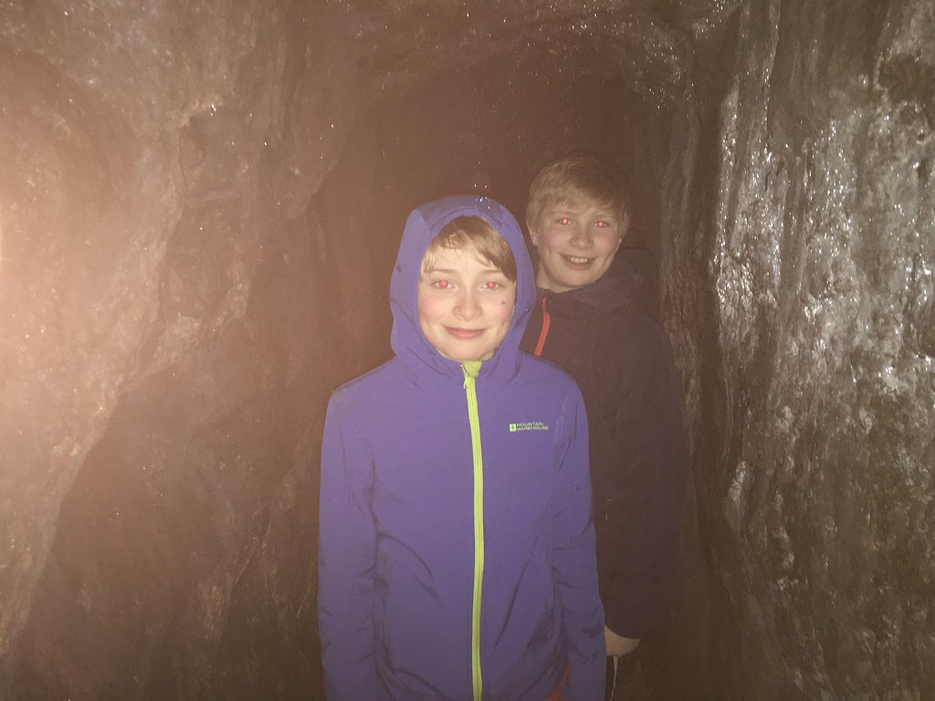
It was a surprisingly long tunnel although there was no evidence of whatever the people who excavated it were digging for. The DBs were as happy as pigs in muck as you can see
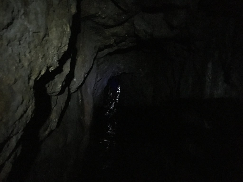
I tried a couple of shots in the passage but it was, unsurprisingly, a little dark
Mark did some dedicated research and you can read about his findings and his take on the day here
Once back at the base of the escarpment, the terrain turned from dry rocks to soggy mud as the water that permeates through the Limestone emerges as springs where it hits the impermeable rocks underneath
The sun was becoming more apparent and we were treated to some fabulous views of the striking cliffs as we emerged from High Park Wood
These are the cliffs of Chapel Head Scar
And a panorama of the same
We were well pleased that such a gloomy start turned into a sunny finish. The views from the car of the end of the ridge while thoughts turned to home-made pizzas
My map shows around 7 miles although the other route tracking apps seems to show 8 miles so I’ll accept the longer estimate for the purposes of morale

Great start to what was a cracking weekend


