
Easter normally involves a trip to Scotland for some backpacking. TJS is now a regular but college commitments meant that would be tricky to organise. An alternative plan for some trailer camping near Fort William was invoked to join my good friend Mark and his family in bagging Ben Nevis (TJS hasn’t climbed it and neither have I for over 20 years – I think). However with Scotland still in the grip of winter (and not wishing to take the Dangerous Brothers into a Scottish white-out on Britain’s highest mountain) we needed an alternative, alternative plan, a plan C if you like.
We sort of invited ourselves to Marks place for a few days and as always they welcomed us with open arms, fed us like kings and queens and tolerated our bad habits and boorish behaviour. A weekend of serious mountaineering was replaced with some more laid back easy walks, eating, games, eating, more eating, games and eating. And many laughs. Just what a hard-working project management professional needs in fact.
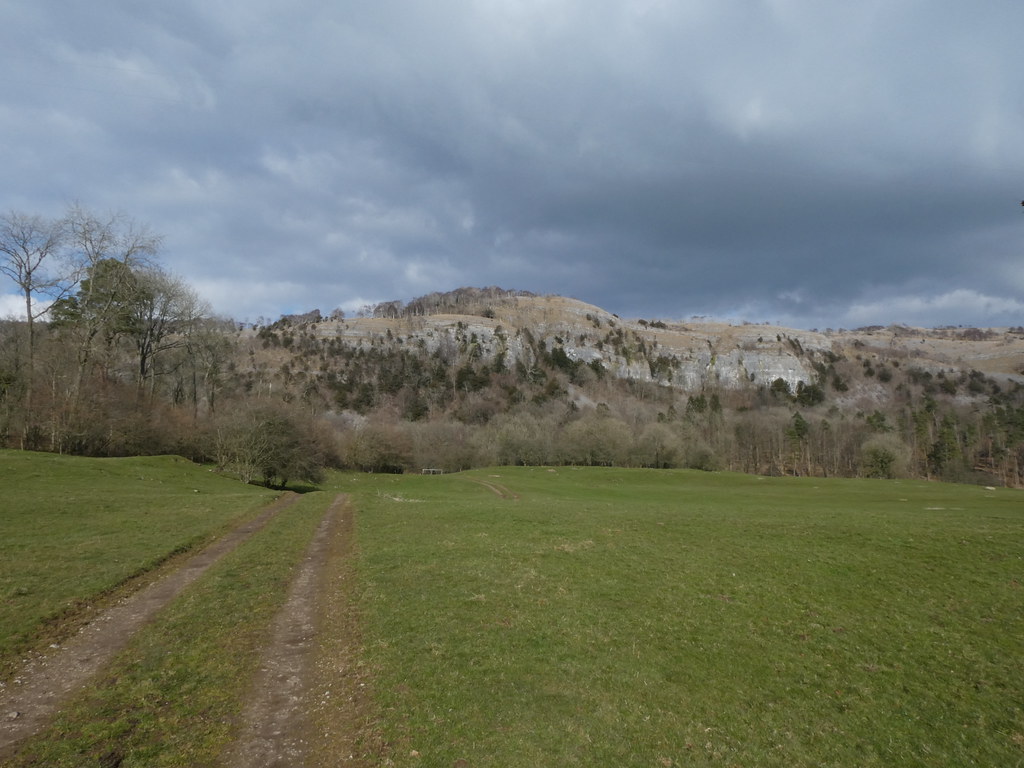
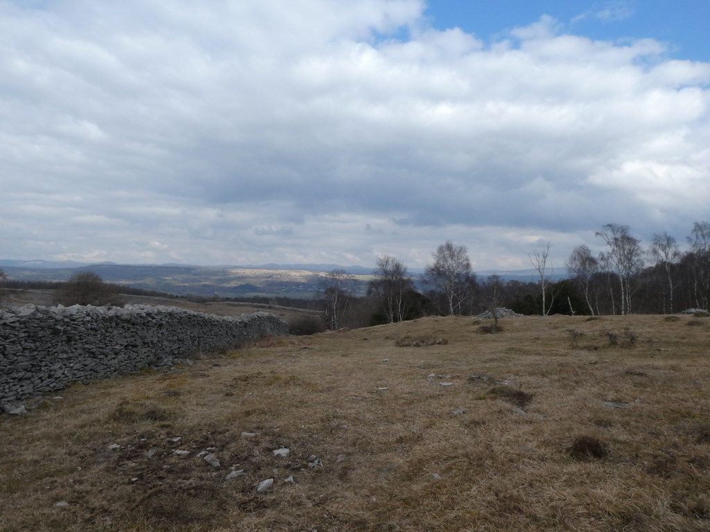
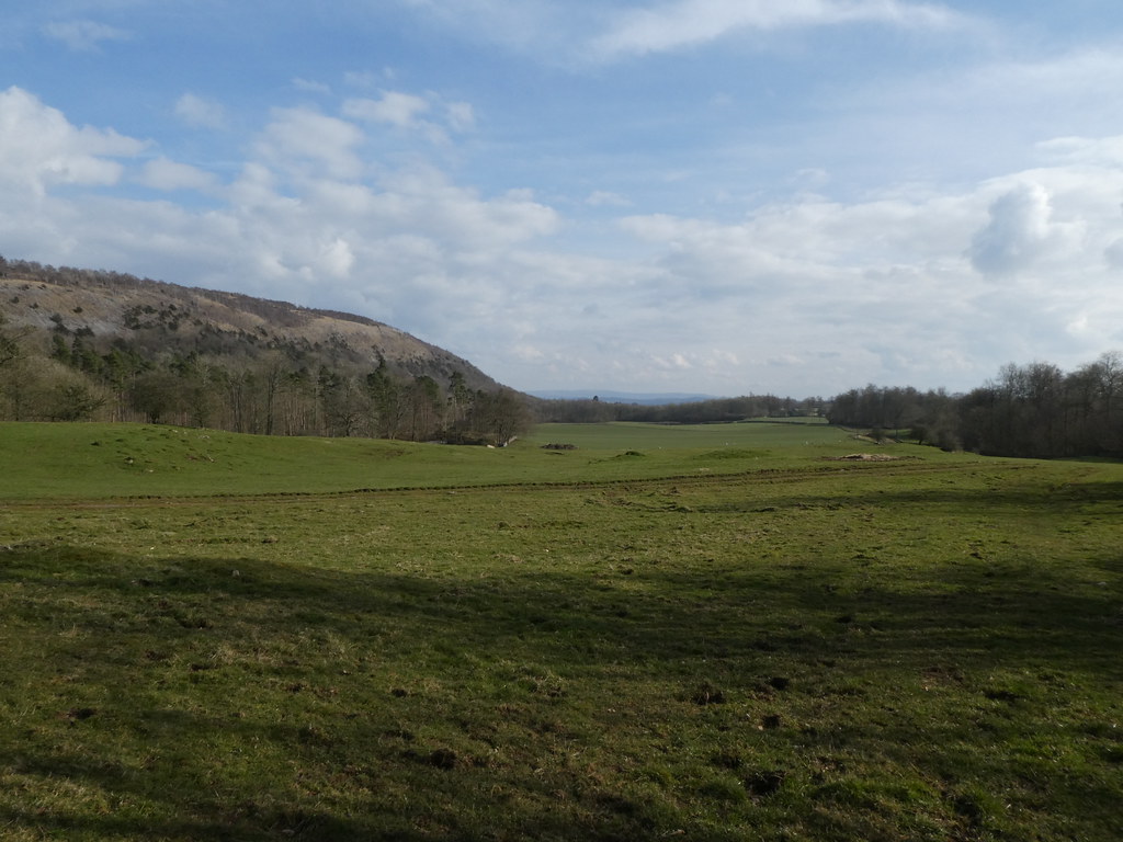
Our first outing took us to the Limestone eminence of Whitbarrow Scar. There are several of these low escarpments in the South Lakes and they make for excellent family walks. Views are expansive and they are always quiet while the masses head to the more famous peaks.
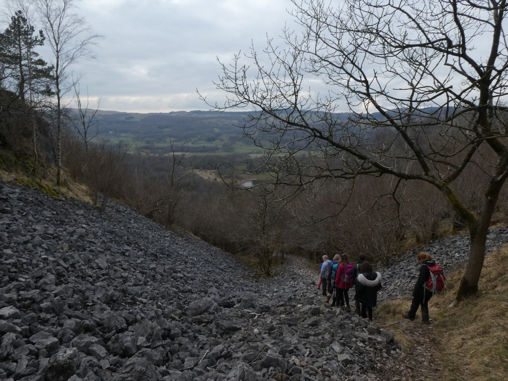
We parked up at the south end and climbed the steep slopes via a very well-made path through Buckhouse Wood. It was a little gloomy and we had a spell of rain.
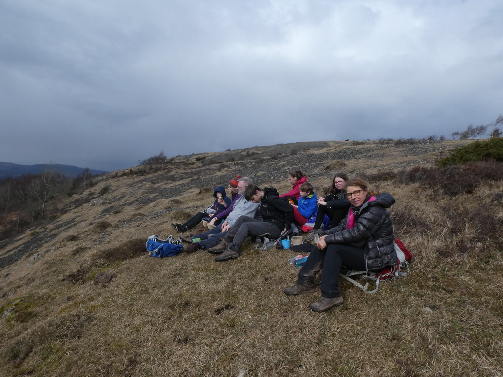
Mark’s TBH wanted to stop in the rain – when she’s hungry she’s focused! We managed to convince her to walk on a short way until the rain stopped before settling down for lunch. A good call as we had some watery sunshine while sat and scoffed. A very fine lunch stop in the end
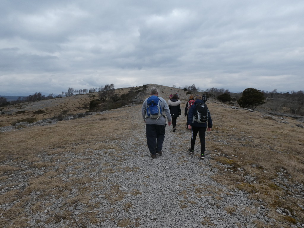
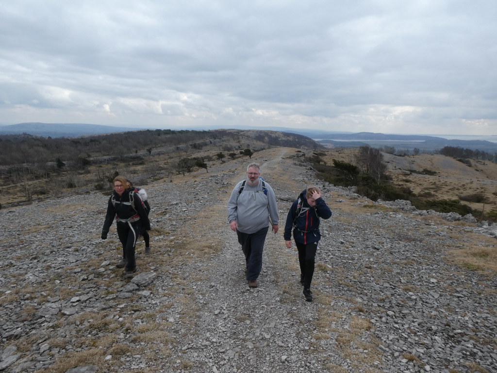
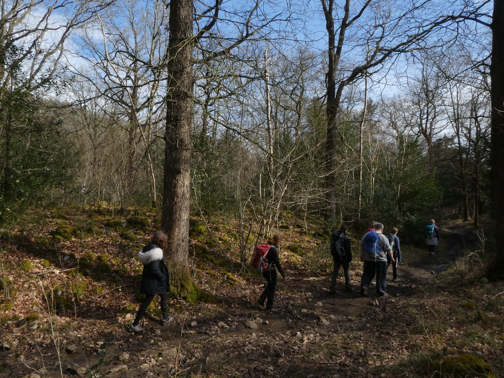
As we walked along the broad ridge the weather, while still chilly, showed promising signs of brightness
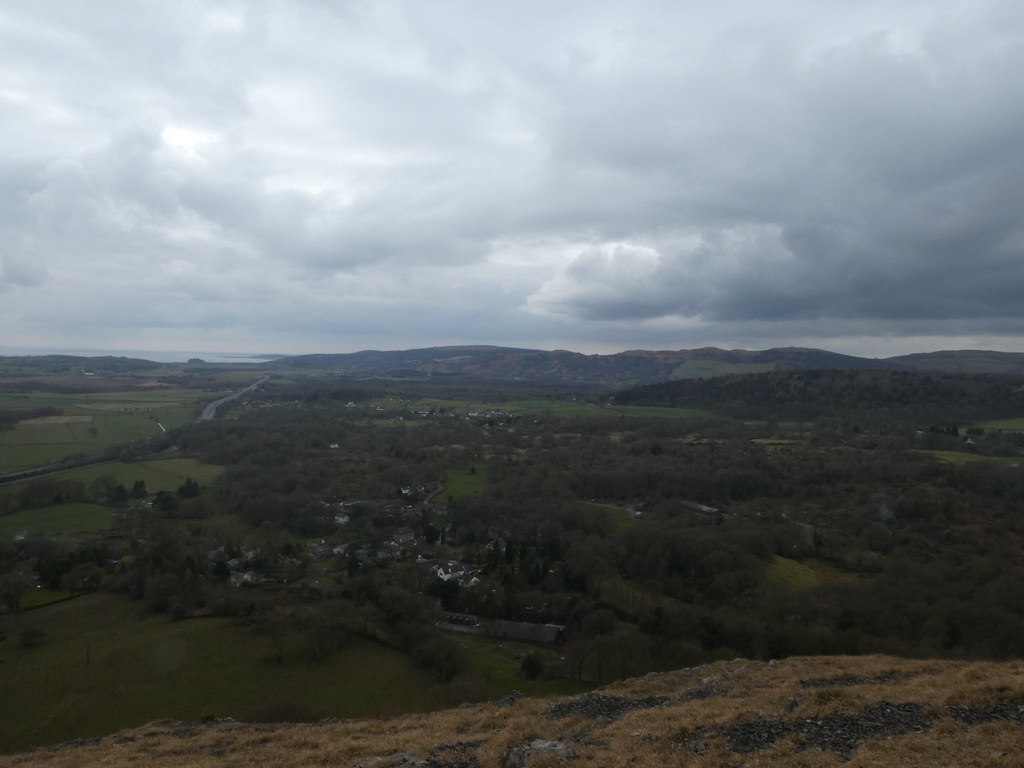
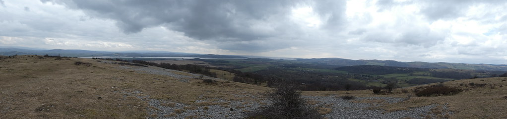
Panorama looking across Morecambe Bay
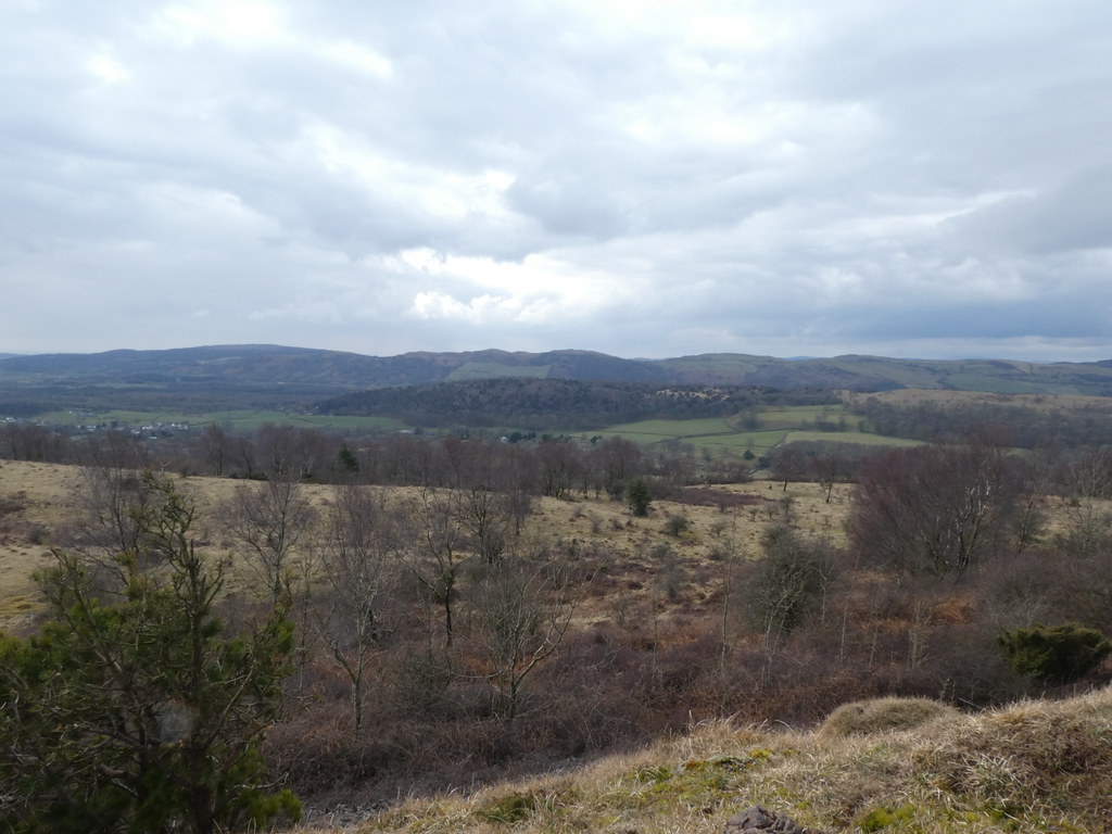
And approaching the summit
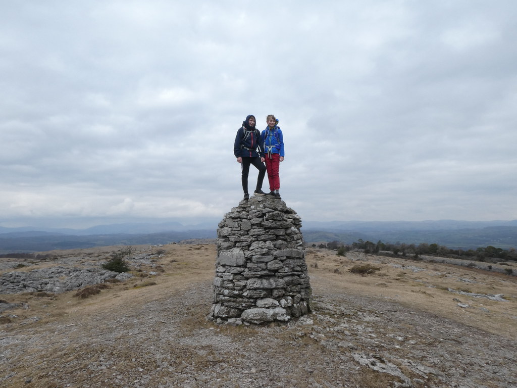
The DBs found endless small crags to play on and made short work of a short climb to the summit of the cairn on Lords Seat
As we began our descent down the very steep slopes of Bell Rake we found this mine adit. Needless to say that the DBs were straight in there and even convinced DB Senior, namely me to join them
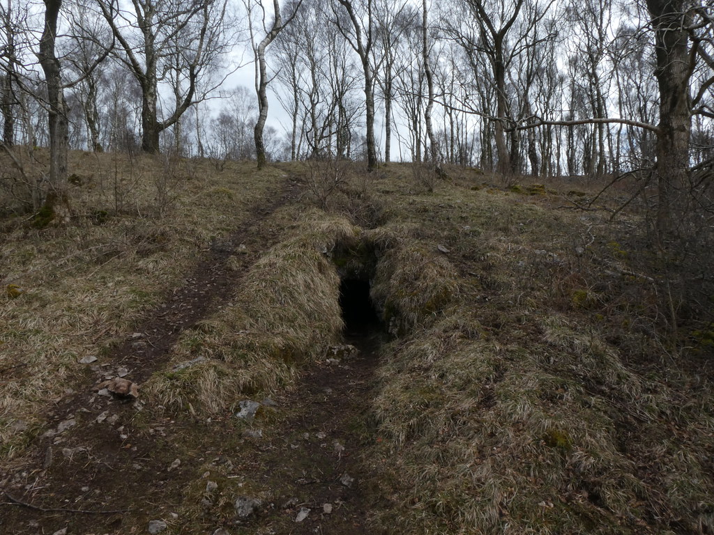
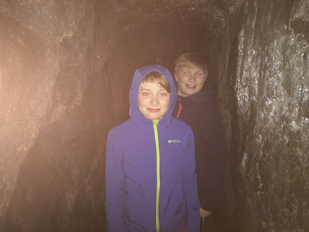
It was a surprisingly long tunnel although there was no evidence of whatever the people who excavated it were digging for. The DBs were as happy as pigs in muck as you can see
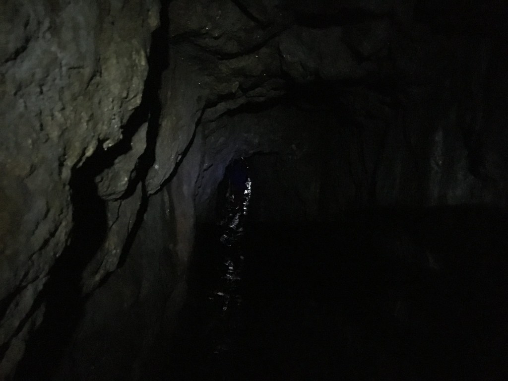
I tried a couple of shots in the passage but it was, unsurprisingly, a little dark
Mark did some dedicated research and you can read about his findings and his take on the day here
Once back at the base of the escarpment, the terrain turned from dry rocks to soggy mud as the water that permeates through the Limestone emerges as springs where it hits the impermeable rocks underneath
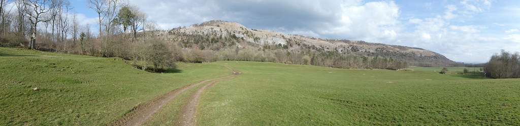
The sun was becoming more apparent and we were treated to some fabulous views of the striking cliffs as we emerged from High Park Wood
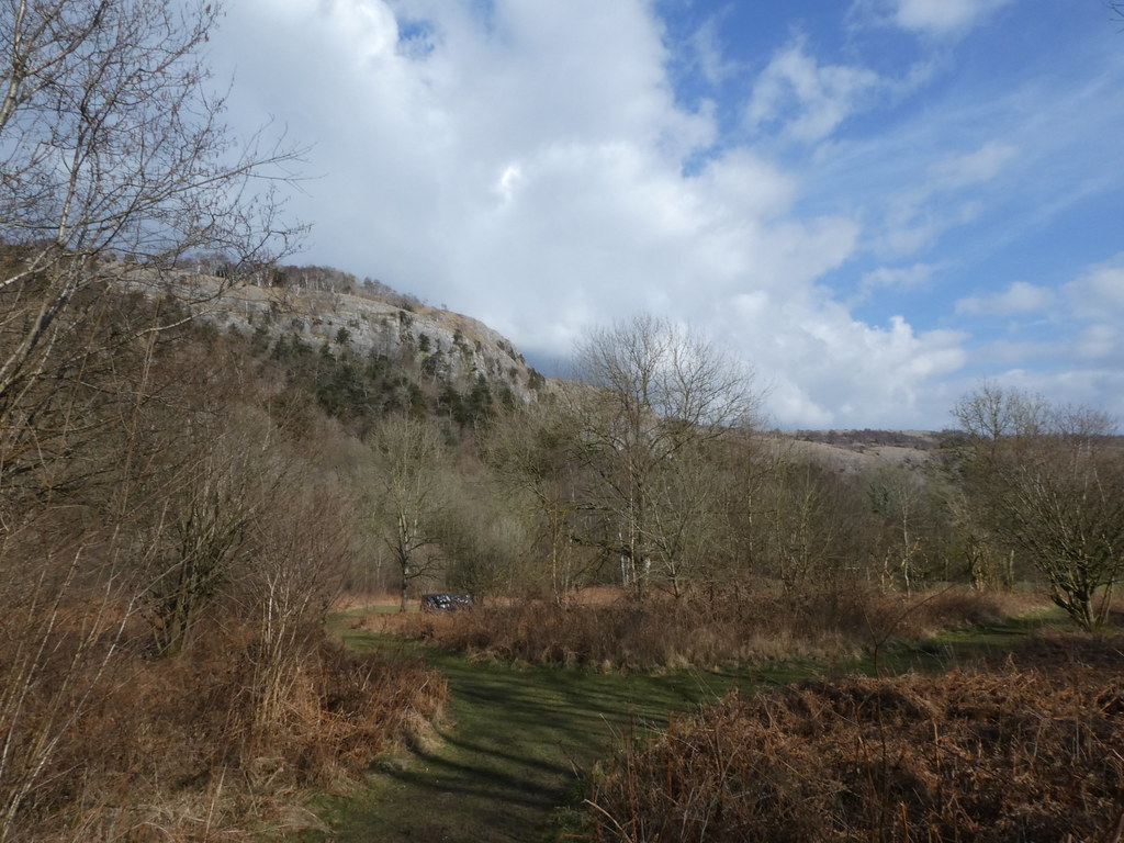
These are the cliffs of Chapel Head Scar
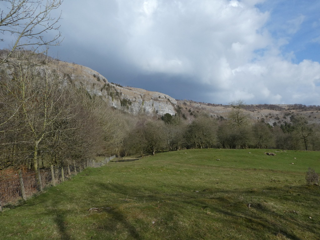
And a panorama of the same
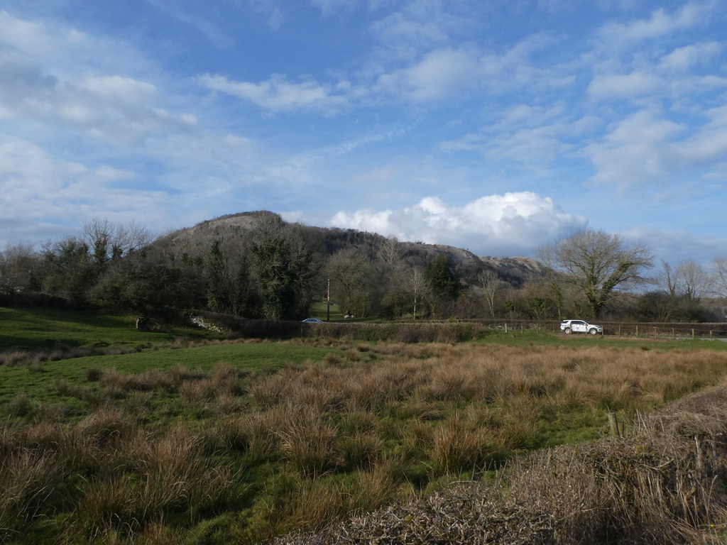
We were well pleased that such a gloomy start turned into a sunny finish. The views from the car of the end of the ridge while thoughts turned to home-made pizzas
My map shows around 7 miles although the other route tracking apps seems to show 8 miles so I’ll accept the longer estimate for the purposes of morale

Great start to what was a cracking weekend


Bad habits and boorish behaviour? Never! As ever, it was a great pleasure. The GPS thing is curious isn’t it? Robin’s consistently gives a shorter distance than mine. The measurement will obviously vary depending on how frequently the app keeps a record of your position. On the one hand I’m inclined to believe the longer one, but then yours is the OS and I tend to trust them when it comes to mapping, rather than a sports gear manufacturer which is where mine comes from. I shall have to look in to this. Great walk btw. I was glad that you went into the mine with the kids – looked a bit pokey to me.
LikeLike
I’m afraid to say you are a mere amateur in the DB stakes although I’m lower league compared to the boys.
I drew the map in my OS mapping software rather than record it on the day. The OS app on my phone will record a route but I can’t see it at home where I need it. The app is also a bit flakey as it often just stops recording and you end of with a straight line. Not ideal
LikeLike
Oh, if you drew it I’m definitely taking my distance. It’s all about fractals and the length of your ruler. Something like that anyway.
LikeLike
I always round up when I draw them on the map to account for fractals! I always guess that the vague wandering about rather than sticking absolutely to a path would add maybe 10% to the actual distance
LikeLike
What an awesome friendship your families have. Glad the dullness was overtaken by the sunshine.
Re Mark’s comment above. I have a garmin watch and I foolishly or otherwise, believe it should have the truer reading over apple watches and the like. I want to record an accurate record of distance, but it is always a battle of wills [pleasantly] as the gang not only want the highest reading, but to round it off as well.
LikeLike
I like to look at the routes I record to see how far they are, more for curiosity than anything else. These sorts of things will always be inaccurate to a greater of lesser extent (much like my own very poor estimates of how far a walk will be before I set off – that really annoys my son!)
Its great that the kids all get on so well together – we are all off on a big trip to France for our summer holidays 🙂
LikeLike
Since 1984 Helen. ‘An erudite man of knowledge and research and a man who gets excited when he sees a Motorway junction’ as Andy recently put it. Who’d have thought such a mismatch could last? Heh, heh.😂
LikeLike
We all have our personality quirks!
LikeLike
How wonderful to share a hike with other friends and their families! Nice scenery.
LikeLike
I much prefer to walk with friends and in a group than solo. There is a time for some quiet and introspection but sharing a great walk with like-minded people is so much better. We normally laugh a lot 🙂
LikeLike
Loved this post. I thought I was getting to know the Lake District hills fairly well but never heard of Whitbarrow- my idea of walking heaven- landscape wise- a UK Vercors National Park in miniature by the looks of it. Wise move missing out Scotland by the way- weather was appalling over Easter holiday here, cold, non stop rain at low levels most days, frequent blizzards at height. Most folk stayed indoors, including myself.
LikeLike
I’ve never been to the Vercors but always wanted to and would guess that it’s not unlike this albeit on a much grander/hotter scale. There are some more near-Lake-District walks coming up in the next few posts. The limestone scenery just around the South Lakes is well worth visiting. Some superb walks and some great pubs as well 🙂
LikeLike
aw, thanks for taking me along on your wonderful hike.
LikeLike
Glad you enjoyed it, more of the same in the next couple of posts
LikeLike
Looks as if there is some fine walking there.
LikeLike
A really interesting and little known corner of the National Park – well worth seeking out and exploring
LikeLike