As part of my recovery program from my knee op I decided to drag the kids out on a walk. It was a lovely warm spring day so we decided to take stroll round the local village of Longtown. It’s a walk we’ve taken a few times, nice and easy for the kids with plenty of wild flowers and great views up to the main ridge of the Black Mountains – and this time we hoped we weren’t too late to see some spring lambs.
The route is below and I’ve created the map for free using a combination of some GPS Sports tracking software on my mobile, Bing Maps which now has OS 1:50,000 and 1:25,000 maps and some freeware screen capture software. I’ll put a post/page up to describe how it works so any of you budding walking bloggers can add maps and routes for nowt. Not quite as clear as using proper map software but not bad for free

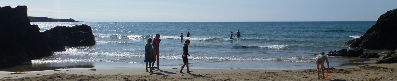
The walk takes you from Longtown village down to and across the Olchon Brook. From there it’s a pleasant stroll over fields, stiles and streams towards the main ridge. It only ascends about 100m so easy with the kids. Both D and L were thrilled to see that the fields were filled new lambs and plenty of “aaahhhh” moments.

D & L, Black Mountains behind

Spring Lambs
The walk then crosses the fields down to the lovely old church at Clodock where we had a leisurely lunch in the Churchyard in the sun.

Clodock Church

Clodock Church

D & L with a healthy lunch of crisps and biscuits
The walk then follows the river Monnow (where we saw a horse rolling around on the bank and then back through the fields to Longtown.

That's how scratch that itch...
It’s a perfect family walk with lots to see and do and neither too far or too steep. Combined with a sunny aspect and views up to the Black Mountains it’s perfect for lazy day out. Flickr photos here


Looks nice.
As a budding walking blogger I shall now be getting to grips with the ‘GPS Sports tracking software on my mobile’.
No – it’s no good. I understand all of the words individaully but together they seem like a foreign language.
LikeLike
I thought the mobile technology might be too much for you. You can draw routes onto the Bing maps in a browser as well, I’ll post all the details when I get round to it but its pretty easy
LikeLike
I worked it out – it must be easy! Cheers.
LikeLike
Pingback: The Best Little Walk? « Beating The Bounds